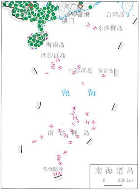
Online map of China's July disaster distribution in 2014
Category: China Nature Disaster
Map description
Map source
The online map of China's July disaster distribution in 2014 is from the Atlas of natural disasters in China in 2014, the book is edited by the National Disaster Reduction Commission Office, the Disaster relief Department of the Ministry of Civil Affairs, the National Disaster Reduction Center of Ministry of Civil Affairs, and is published by China Map Publishing House. The scale of this map is 1:22000000.
Online map of China's July disaster distribution in 2014

Connect to the map above.
Disaster assessment in July:
1.The rare and super typhoon in history has caused severe damage to South China and Yunnan
A total of 2 typhoons landed in my country in July, the number of landfalls was the same as that of normal years, however, the disaster situation was obviously more serious, the direct economic loss ranked first in the same period in the past decade, the number of dead and missing persons, crop failure area and damaged houses was second only to 2006 over the same period.
Among them, the No.9 super typhoon "Rammasun " landed in Wenchang, Hainan, Xuwen, Guangdong and Fangchenggang in Guangxi for three times, it is the strongest typhoon landing in South China since 1973, the high tide level of Guangdong Nandu and Hainan Xiuying exceeded the local warning storm surge level by more than 30 cm, the strong storm and rain and the floods, landslides, mudslides and other disasters caused by Hainan, Guangdong, Guangxi, Yunnan and other four provinces (autonomous regions) were affected, water supply, roads, communications and other infrastructure are seriously damaged.
In addition, after Typhoon No.10 "Matmo" landed in Taiwan, it landed in Fuqing, Fujian and Rongcheng, Shandong successively, eight provinces including Liaoning, Jiangsu, Zhejiang, Anhui, Fujian, Jiangxi, Shandong, and Guangdong were affected to varying degrees.
2.Extreme precipitation events occur frequently, and flood, wind and hail losses are serious
In July, the process of heavy rainfall occurred frequently throughout the country. In mid-July, the rainfall process was long in duration, strong in intensity, wide in scope, and heavy disaster losses; The daily precipitation in Guiyang (201.7 mm) and Qingzhen (287.8 mm) in Guizhou and Mashan (358.3 mm) in Guangxi broke the historical extreme value; The continuous precipitation in Jishou, Hunan (513.9 mm), Jiande (4343 mm) and Yinjiang (467.5 mm) in Guizhou broke the historical extreme value; Nearly 30 rivers such as Zishui River in Hunan Province and Wujiang River in Guizhou Province occurred flood exceeding the guaranteed water level, and 11 rivers, including Yuanjiang River and its tributaries Tuojiang River, Wushui River and Meijiang River in Hunan Province, yongchong River and Manlao River, tributaries of Lancang River in Yunnan Province, and niukong River, a tributary of Red River, have experienced floods beyond historical records.
There are 1123 counties (cities, districts) suffering from floods, geological disasters, wind and hail disasters, accounting for 74% of the total number of counties affected in the same month. Among them, landslide, debris flow and other secondary disasters are the main causes of death and missing, and the death and missing rate reaches 60%.
3.Summer drought in North China, Huanghuai and other places has an impact on people's life and autumn grain production
Since the beginning of summer, the precipitation in northwest, North China, Huanghuai, upper and middle reaches of Yangtze River and southwest part is less than 20%. Rainfall in most parts of Huanghuai River, eastern part of North China, central and southern part of Shaanxi Province and eastern part of Gansu Province is less than 20%. Among them, Henan Province is 60% less than that of the same period of the whole year, which is the least in the same period of history since 1961. In July, high temperature weather above 35 ℃ occurred for many days in parts of North China and Huangzhun, and extreme high temperature events occurred in many places. Affected by high temperature and little rain, 13 provinces (autonomous regions) including Inner Mongolia, Henan, Hubei and Ningxia suffered from drought. The drought lasted for a long time, covered a wide range and developed rapidly. It occurred in the peak period of crop water demand and the key period of yield formation in autumn. In addition, the drought affected areas are densely populated and have a large economic volume. It is also an important grain production base in China, which has a certain impact on people's life and autumn grain production.
Various disasters:
The yellow circle in the figure indicates: Drought disaster.
The blue triangle in the figure indicates: Floods and geological disasters.
The brown diamond in the figure indicates: Wind and hail disasters.
The green circle in the figure indicates: Typhoon disaster.
The pink triangle in the figure indicates: Earthquake disaster.
The purple diamond in the figure indicates: Low temperature freezing and snow disaster.
Note: data on Taiwan, Hong Kong and Macao are not available.
Related maps
Online map of China's January disaster distribution in 2014
Online map of China's February disaster distribution in 2014
Online map of China's March disaster distribution in 2014
Online map of China's April disaster distribution in 2014
Online map of China's May disaster distribution in 2014
Online map of China's June disaster distribution in 2014
Online map of China's August disaster distribution in 2014
Online map of China's September disaster distribution in 2014
Online map of China's October disaster distribution in 2014
Online map of China's November disaster distribution in 2014
Online map of China's December disaster distribution in 2014
- Historical map of the Southern Song Dynasty and the Jin Dynasty in 1208 AD
- The Historical Maps of Qi State, Lu State and Song State During the Warring States Period in China
- Historical Maps of Chu State, Wu State and Yue State in Spring and Autumn Period of China
- A Historical Map of the Early Site of Chinese Primitive Society (Paleolithic Age)
- Online map of non-metallic mineral resources in Wenchuan disaster area in China