Online map of China's February disaster distribution in 2014
Category: China Nature Disaster
Map description
Map source
The online map of China's February disaster distribution in 2014 is from the Atlas of natural disasters in China in 2014, the book is edited by the National Disaster Reduction Commission Office, the Disaster relief Department of the Ministry of Civil Affairs, the National Disaster Reduction Center of Ministry of Civil Affairs, and is published by China Map Publishing House. The scale of this map is 1:22000000.
Online map of China's February disaster distribution in 2014

Connect to the map above.
Disaster assessment in February:
1.Seismicity is relatively active, and Yutian earthquake has a great impact
In February, the level of seismicity in China's mainland was relatively high, and four earthquakes with magnitude ≥ 5 occurred. Among them, the magnitude of the 7.3 earthquake occurred in Yutian, Xinjiang on February 12 was the highest, and aftershocks occurred frequently. Since then, there have been successive earthquakes of magnitude 5.7 and more than 3,500 moderately strong aftershocks.
The earthquake involved 10 counties (cities) with a wide range of disasters. The total area of the disaster area reached 128,000 square kilometers. The Hetian area in the epicenter belongs to the poverty-stricken ethnic minority area of southern Xinjiang. The houses in the disaster area are poor in earthquake resistance, and the people in the disaster area have weak self-rescue capabilities, the superposition of disaster and poverty leads to the aggravation of disaster impact.
2.More serious loss of low temperature and snow disaster in the south, and the drought in the northern winter wheat area is alleviated
From February 4-20, there were more frequent rain, snow, and temperature drops in the southern region, with the temperature drop generally above 10°C, and the temperature drop in some areas reached 18°C. Low temperature freezing and snow disaster occurred in Anhui, Zhejiang, Hubei, Hunan, and Guizhou. In the snowstorm, cash crops such as tea and rape were frozen, and some power and communication infrastructure were damaged. Among them, the central and eastern regions encountered a large-scale rain and snow weather process on February 4-7, which had a greater impact on the return traffic during the Spring Festival. Affected by the rain and snow weather process and the large-scale precipitation process that reappeared from 16 to 18, the drought in northern winter wheat regions such as Hebei, Shanxi, Shandong, Henan, and Shaanxi has also been effectively alleviated.
Various disasters:
The yellow circle in the figure indicates: Drought disaster.
The blue triangle in the figure indicates: Floods and geological disasters.
The brown diamond in the figure indicates: Wind and hail disasters.
The green circle in the figure indicates: Typhoon disaster.
The pink triangle in the figure indicates: Earthquake disaster.
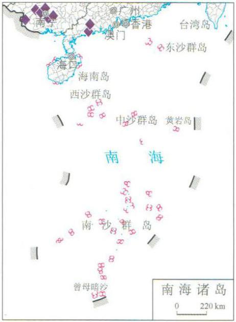
The purple diamond in the figure indicates: Low temperature freezing and snow disaster.
Note: data on Taiwan, Hong Kong and Macao are not available.
Related maps
Online map of China's January disaster distribution in 2014
Online map of China's March disaster distribution in 2014
Online map of China's April disaster distribution in 2014
Online map of China's May disaster distribution in 2014
Online map of China's June disaster distribution in 2014
Online map of China's July disaster distribution in 2014
Online map of China's August disaster distribution in 2014
Online map of China's September disaster distribution in 2014
Online map of China's October disaster distribution in 2014
Online map of China's November disaster distribution in 2014
Online map of China's December disaster distribution in 2014
- Historical map of the Southern Song Dynasty and the Jin Dynasty in 1208 AD
- The Historical Maps of Qi State, Lu State and Song State During the Warring States Period in China
- Historical Maps of Chu State, Wu State and Yue State in Spring and Autumn Period of China
- A Historical Map of the Early Site of Chinese Primitive Society (Paleolithic Age)
- Online map of the maximum daily rainfall in July 16th,2010 during the mid and late July's flood disaster period in South China