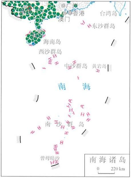
Online map of China's September disaster distribution in 2014
Category: China Nature Disaster
Map description
Map source
The online map of China's September disaster distribution in 2014 is from the Atlas of natural disasters in China in 2014, the book is edited by the National Disaster Reduction Commission Office, the Disaster relief Department of the Ministry of Civil Affairs, the National Disaster Reduction Center of Ministry of Civil Affairs, and is published by China Map Publishing House. The scale of this map is 1:22000000.
Online map of China's September disaster distribution in 2014

Connect to the map above.
Disaster assessment in September:
1.Seriously heavy rain loss in Western China, and rare history of rainstorm and flood in Chongqing
In the first ten days of September, there was continuous rainfall in Western China, and heavy to severe rainstorms occurred in some areas, the rainfall in southern Shaanxi and Northeast Sichuan was more than 2 times than that in the same period of the year, the precipitation in Shaanxi was 4.2 times of that in the same period of the year, which was the most since 1951, causing floods, landslides, debris flows and other disasters. The disaster process has a waiting point of heavy rainfall, long duration and serious damage, causing serious damage to seven provinces (municipalities) including Hubei, Chongqing, Sichuan, Guizhou, Yunnan, Shaanxi and Gansu. In addition, from August 31 to September 2, Chongqing suffered from floods, the heavy rainfall process was the strongest in the same period since 1982, mainly concentrated in the northeast, Southeast and western parts of Chongqing, causing 20 counties (districts) to be affected, the rainfall in Yunyang, Fengjie, Kaixian and the main urban area of Chongqing broke the record of the same period on September 1, the accumulated rainfall of Xianchi, Sangping, Luyang and other towns in Yunyang County exceeded 300 mm in three days, and the rainfall in Xianchi of Yunyang County reached 441 mm.
2.The number of typhoon landings is close to normal, and rare number of typhoon landings
In September, there were two typhoons landing on the mainland of China, the number of landing was close to the same period of the year. Among them, No. 1415 typhoon "Haichun" landed twice, and No. 1416 typhoon "Fenghuang" landed as many as four times, which is the first typhoon landing in Shanghai in 25 years. According to statistics, the typhoon disaster in September caused a total of 11.299 million people in six provinces (autonomous regions) across the country, 11 people died and disappeared, and 728000 people were urgently transferred and resettled, more than 7000 houses collapsed and 77000 buildings were damaged to varying degrees.
Various disasters:
The yellow circle in the figure indicates: Drought disaster.
The blue triangle in the figure indicates: Floods and geological disasters.
The brown diamond in the figure indicates: Wind and hail disasters.
The green circle in the figure indicates: Typhoon disaster.
The pink triangle in the figure indicates: Earthquake disaster.
The purple diamond in the figure indicates: Low temperature freezing and snow disaster.
Note: data on Taiwan, Hong Kong and Macao are not available.
Related maps
Online map of China's January disaster distribution in 2014
Online map of China's February disaster distribution in 2014
Online map of China's March disaster distribution in 2014
Online map of China's April disaster distribution in 2014
Online map of China's May disaster distribution in 2014
Online map of China's June disaster distribution in 2014
Online map of China's July disaster distribution in 2014
Online map of China's August disaster distribution in 2014
Online map of China's October disaster distribution in 2014
Online map of China's November disaster distribution in 2014
Online map of China's December disaster distribution in 2014
- Historical map of the Southern Song Dynasty and the Jin Dynasty in 1208 AD
- The Historical Maps of Qi State, Lu State and Song State During the Warring States Period in China
- Historical Maps of Chu State, Wu State and Yue State in Spring and Autumn Period of China
- A Historical Map of the Early Site of Chinese Primitive Society (Paleolithic Age)
- Online map of non-metallic mineral resources in Wenchuan disaster area in China