Toggle navigation
GISLite
Document
Info
Tutorial
App
Map
User
Recent use
Most use
My collection
Personal Data
Login
Register
Current location:
Home
Map
General Map
General Map
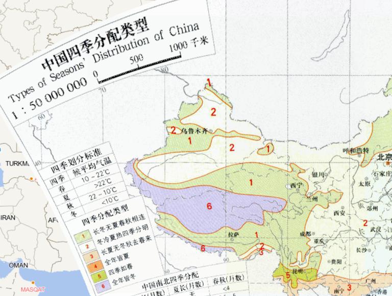
China Four Seasons Distribution Type Online Map
2023-08-23
China Four Seasons Distribution Type Online Map...
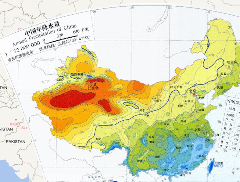
Online annual precipitation in China
2023-08-23
Online annual precipitation in China...
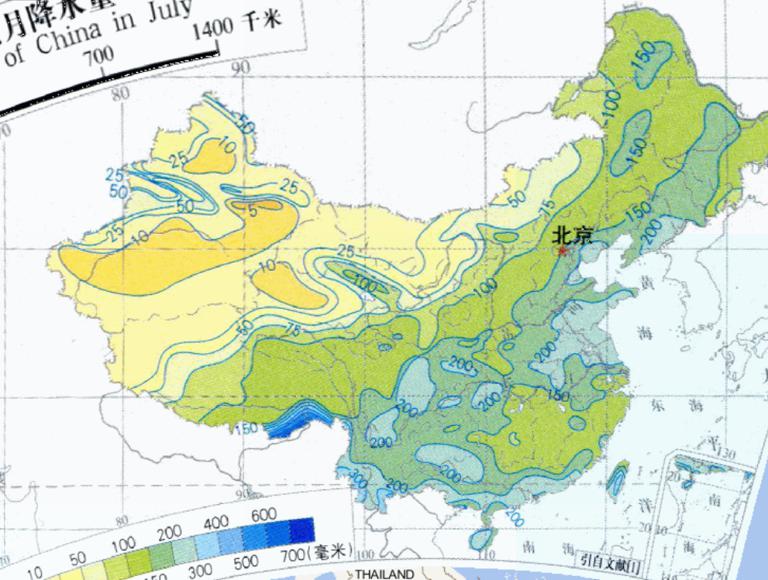
Online precipitation for July in China
2023-08-23
Online precipitation for July in China...
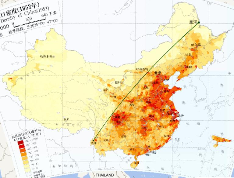
Online map of China population density , 1953
2023-08-23
Online map of China population density , 1953...
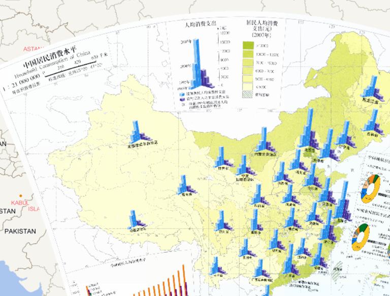
Online Map of Chinese Residents' Consumption Level
2023-08-23
Online Map of Chinese Residents' Consumption Level...
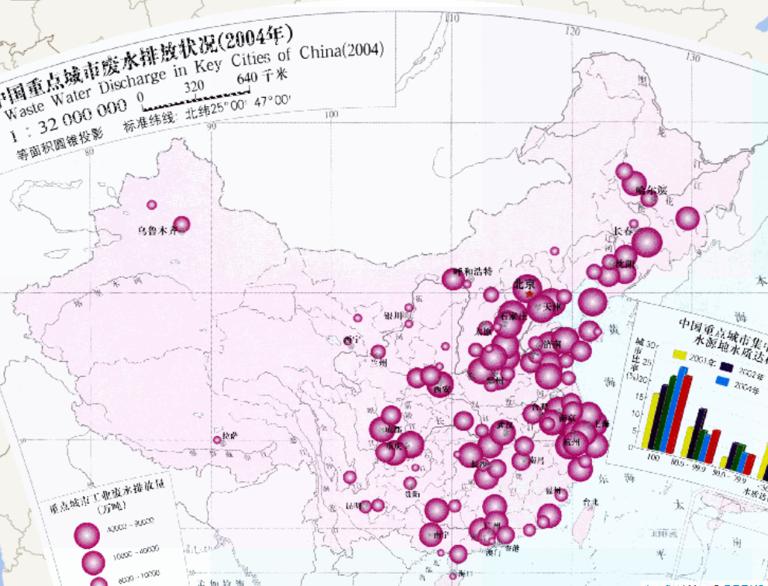
Wastewater Discharge Status of Major Cities in China (2004) (1: 32 million) Online Map
2023-08-23
Wastewater Discharge Status of Major Cities in China (2004) (1: 32 million) Online Map...
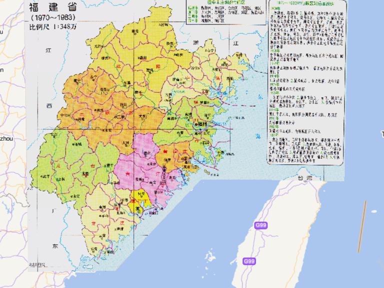
History map of administrative division (1970-1983) in Fujian Province, China
2023-08-23
History map of administrative division (1970-1983) in Fujian Province, China...
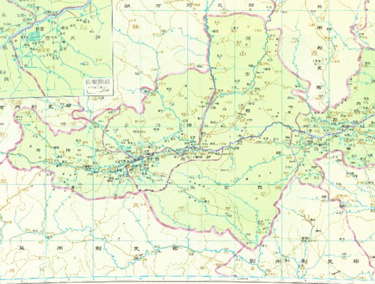
The history map of Si Li Department in the Western Han Dynasty of China
2023-08-23
The history map of Si Li Department in the Western Han Dynasty of China...
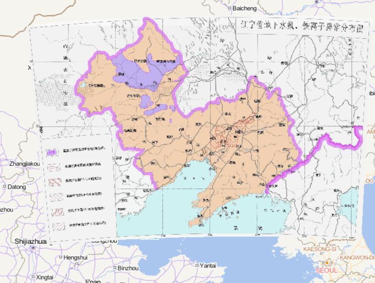
Mapping of Fluorine and Iron Ion Abnormal Distribution in Groundwater in Liaoning Province, China
2023-08-23
Mapping of Fluorine and Iron Ion Abnormal Distribution in Groundwater in Liaoning Province, China Knowledge points Liaoning Provi...
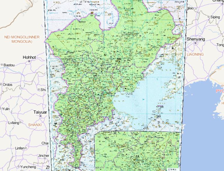
The historical map of the near the capital during the Qing Dynasty in China
2023-08-23
The historical map of the near the capital during the Qing Dynasty in China...
Home
Previous page
90
91
92
93
94
95
96
97
98
99
Next page
End
Go to
page
Jump
Most attention
Differences between WebGIS and desktop GIS, mobile GIS and 3D GIS
3D WebGIS-technology route
Differences between C language/ C++ / Java / Python
GIS spatial data sharing standard
Top 10 free open source NoSQL databases
Recent articles
Analysis of the development prospects of GIS in urban planning
The application of big data in the construction of smart cities
Making GIS 3D visualization simple - projected coordinate system
Making GIS 3D visualization simple - geographic coordinate system
What are the advantages of 3D GIS compared to 2D
Classified catalogue
Programming and development
Software application
Open source GIS
Space Technology
OpenGIS
Education and training
Python
JavaScript
Desktop
Database
WebGIS
Powered by TorCMS (
https://github.com/bukun/TorCMS
).