3D WebGIS-technology route
Page Views: Stats unavailable
Preface
In fact, for 3D, there is not much experience accumulation, mainly because there is not much demand from actual users for products and projects in work, the only demand is often expressed when leaders need to make superficial efforts, so it is often a muddle over what technology is used to achieve it over time, it is convenient to use skyline and ArcGIS for a while. From the perspective of project thinking, it may barely pass the test. However, from the perspective of products, it can be said that there is no benefit for all.
As mentioned above, 3D is often used as a display tool for leaders, but its significance in industrial applications cannot be denied, the advantages of 3D, such as intuitive image and realistic effect, another example is to illustrate the advantages of 3D with the application of pipe network analysis in water affairs, Traditionally, we have used the profile analysis of the pipe network to show the buried depth of the pipeline and the upstream and downstream elevations, with 3D, the above analysis process does not exist.
To sum up, when the information display of elevation dimension (z) appears in the application requirements, applications without 3D are often displayed by selecting two dimensions: for example, 2D pipe network map selection (x, y) or (longitude and latitude), profile analysis selection (x, z), etc. There is no need to choose between 3D applications, the three dimensions can be displayed in the same view. The industrial application significance of 3D is expounded, whether it is used as a decoration or not, the 3D technology is worthy of in-depth research and accumulation by GIS, a professional friend.
3D GIS platform
- Note that it refers to 3D GIS platform, not some 3D modeling software (3DMax). See the next section for 3D modeling software;
- Personal choice with personal preference, and the following selection content is not intended to belittle or elevate, just personal preference;
- There is not much research on open source platform(This type can be studied: Cesium);
- Domestic platform, partial understanding, but no intention of in-depth research(Representatives of this class: SuperMap and CityMaker);
- There are two or three foreign platforms worthy of in-depth understanding: Skyline and ArcGIS (Three platforms: the original ArcScene (Pass, too Low), CityEngine (acquired by ESRI to make up for its own shortcomings in 3D), ArcPro (as the replacement of the original ArcGIS Desktop three pieces: ArcMap, ArcCatalog, ArcToolbox, plus ArcScene and ArcGlobe, which worthy of in-depth study by ArcGIS system learners)
3D modeling software
- 3DMax or Maya, the most traditional, powerful and versatile format;
- SketchUp has the advantage that it can export kmz, which can be directly superimposed on Google Earth, but the Mars coordinates in GCJ02 need to be converted separately;
- Blender, the best partner of Three.js (mentioned in the next section), directly uses JSONLoader to load Blender's json model files in Three.js, which is more convenient than using ObjLoader.
3D Web technology (only two are recommended)
- Three.js: standard implementation of WebGL
- Cesium.js: 3D Web technology + partial GIS implementation
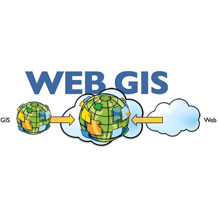
\( 3D WebGIS = 3D ( 3D modeling ) + Web ( 3D Web technology ) + GIS ( 3D GIS platform )\)
How to build 3D WebGIS, the technical route is divided into the following products and technologies:
- Skyline: Skyline desktop is used for 3D map editing, Skyline server is used for publishing services, and Skyline api is used for 3D WebGIS development; (Limiting factor: cost)
- ArcGIS: ArcGIS Pro is used for 3D map editing, ArcGIS Server or ArcGIS Online publishing service, and ArcGIS JS API version 4.0 or above is used for development (the latest version is 4.8 at present); (Limiting factor: cost. When cost is not considered, individuals choose this route. The learning cost is relatively low for supporters of ArcGIS system)
- Cesium: We only know little, so we can't comment on it. We can quickly build it on Global, open source and have corresponding tools to do 3D slicing, but we should pay attention to that all models should be converted to gltf format.
Personal choice of route
As ArcGIS Pro is a new product, it can directly publish 3D maps with learning costs. At the same time, there must be a portal (portal, install ArcGIS Portal). Otherwise, it must be directly published to ArcGIS Online. Another point is to publish to its own portal. ArcGIS Server must be an Advanced level license. To sum up, there are high requirements for learning cost+capital cost.
Can we do 3D based on the 2D map service released by the replaced ArcMap? The answer is yes. This is a technical route with smooth and perfect transition of learning curve: ArcGIS (ArcMap+Server publishing 2D map service)+Blender (3D modeling)+Three. js (WebGL) Of course, if you still have capital cost concerns, please choose open source GIS Server to publish two-dimensional map services. Other technical routes are universal.