General Map
2023-08-23
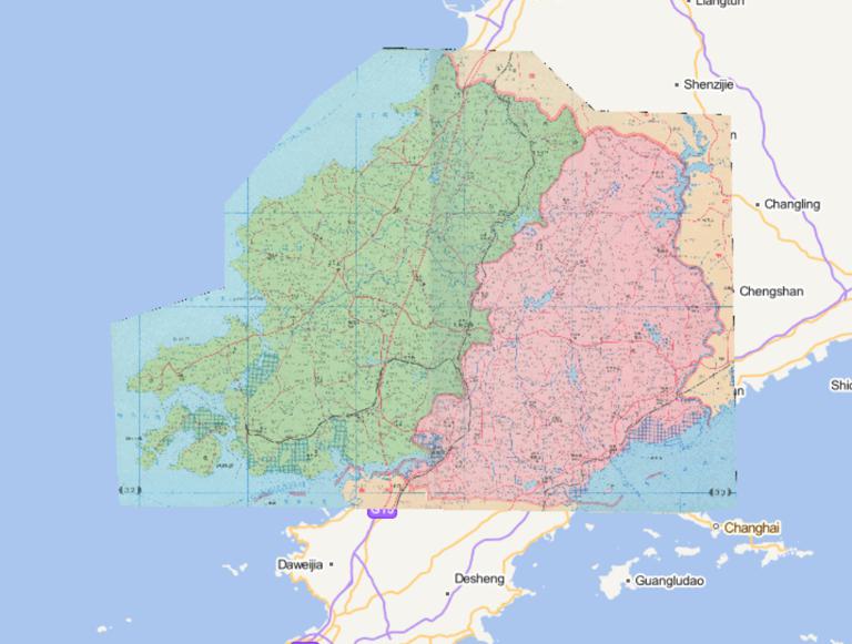
The map consists of two regions of the map.
Wafangdian City, Pulandian City, Dalian City, Liaoning Province,
China 1995 Administra...
2023-08-23
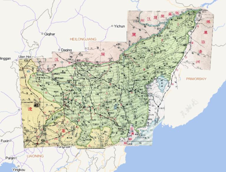
Online Map of Jilin Province during the Republic of China in 1933...
2023-08-23
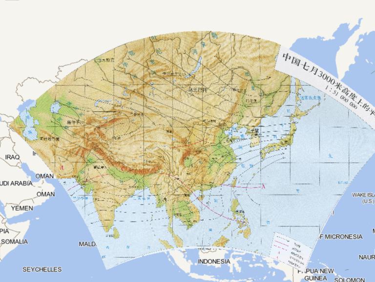
Online map of the mean flow field over 3,000 m height in July in China...
2023-08-23
Map source
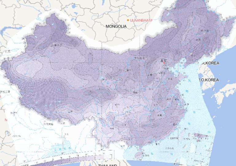
The online distribution map of continuous cooling extreme threshold in
China is derived from the Atlas of Extreme Weath...
2023-08-23
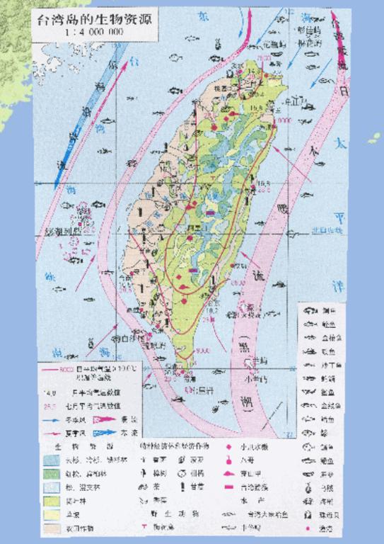
Biological Resources of Taiwan Island, China
1, spruce, fir, hemlock
2, red cypress, flat Berlin
3, pine, mixed forest
4, broad-le...
2023-08-23
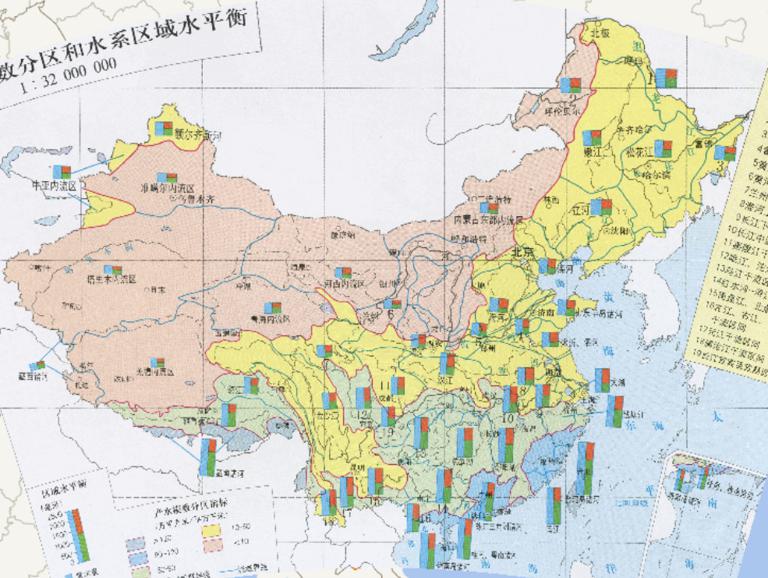
The name of the water system area represented by numbers in the figure
1、Heilongjiang mainstream interval
2、Ergun River
3、Ussuri R...
2023-08-23
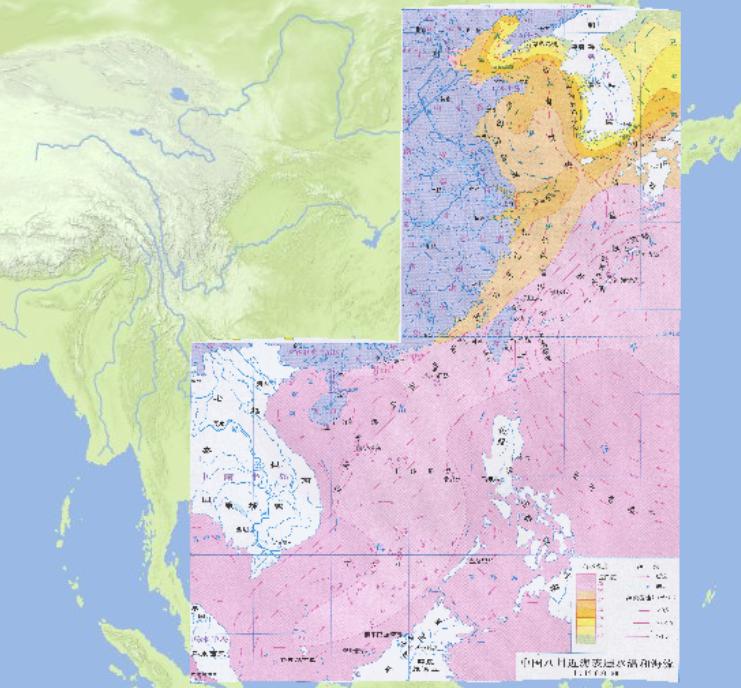
Surface Water Temperature and Sea Current Online Map of China in August...
2023-08-23
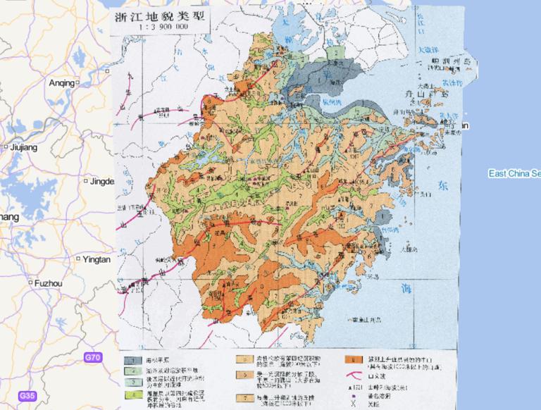
Types of Landforms in China and
1, sea plains
2, lakes and lakes and siltation plains
3, the cover to the modern river alluvial fl...
2023-08-23
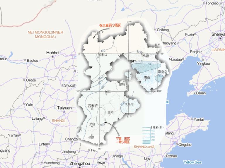
Map source
The online map of annual precipitation in Hebei Province, China
is derived from the atlas of China National Geographic...