Toggle navigation
GISLite
Document
Info
Tutorial
App
Map
User
Recent use
Most use
My collection
Personal Data
Login
Register
Current location:
Home
Map
General Map
General Map
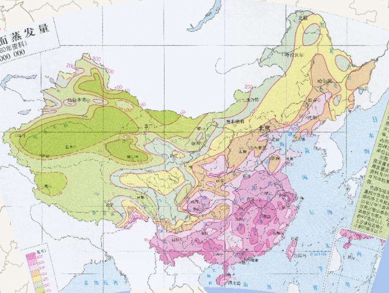
China 's Annual Land Surface Evaporation (1951-1980) Online Map
2023-08-23
Concept of pavement evaporation Pavement evaporation refers to the process of pavement water vaporization entering the atmosphere....
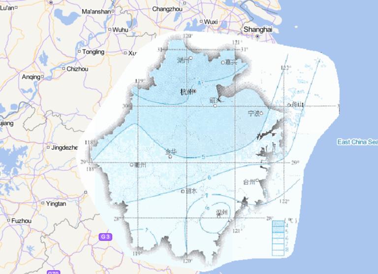
Online map of January average temperature in Zhejiang Province, China
2023-08-23
Map source The online map of January average temperature in Zhejiang Province, China is from the atlas of China National Geographi...
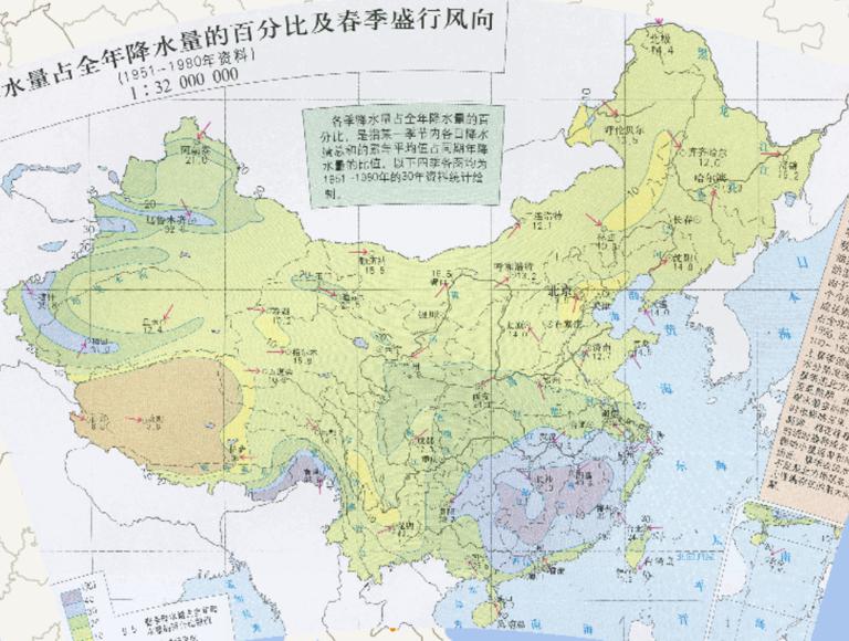
Online map of percentage of Spring Precipitation as Percentage of Annual Precipitation and the prevailing wind direction during Spring in China(1951-1980)
2023-08-23
Online map of percentage of Spring Precipitation as Percentage of Annual Precipitation and the prevailing wind direction during Sp...
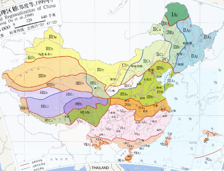
China 's Ecological Geographic Zoning (1999) Online Map
2023-08-23
China 's Ecological Geographic Zoning (1999) Online Map...
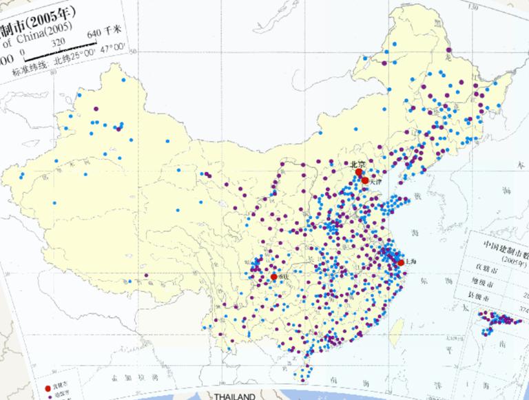
Online map of China Construction City (2005)
2023-08-23
Online map of China Construction City (2005)...
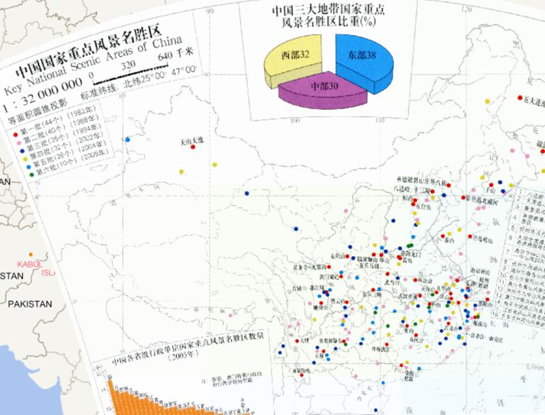
Online map of China National Key Scenic Area
2023-08-23
Online map of China National Key Scenic Area...
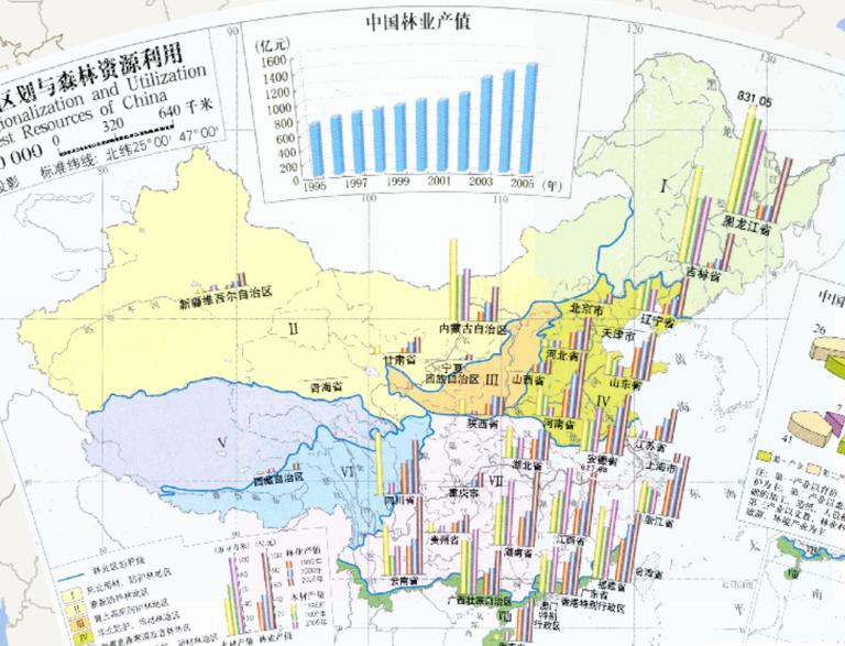
Online map of Forestry Division and Utilization of Forest Resources in China (1: 32 million)
2023-08-23
Online map of Forestry Division and Utilization of Forest Resources in China (1: 32 million)...
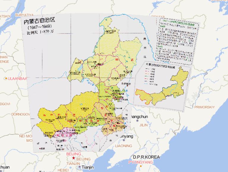
Administrative Map of Inner Mongolia, China (1947-1949)
2023-08-23
Administrative Map of Inner Mongolia, China (1947-1949)...
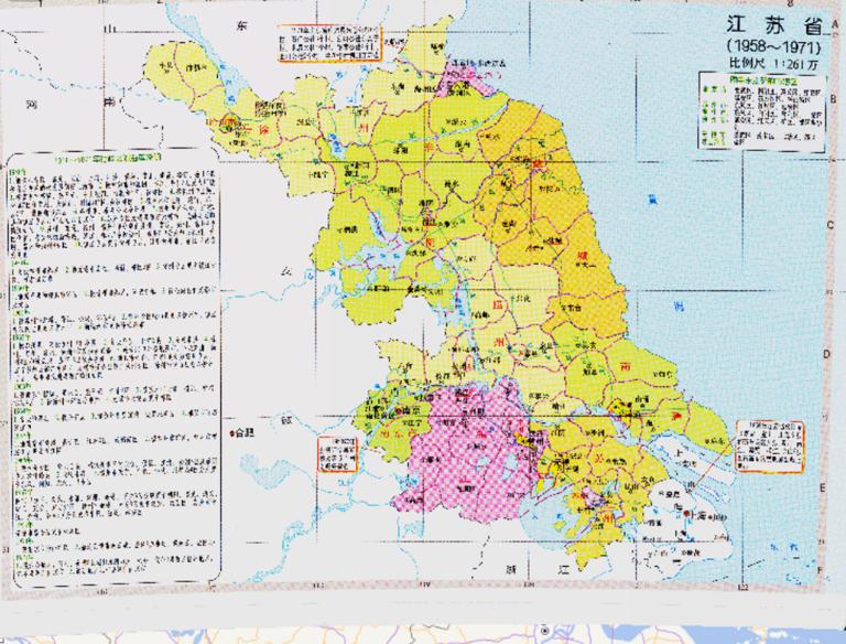
History map of administrative division (1958-1971) in Jiangsu Province, China
2023-08-23
History map of administrative division (1958-1971) in Jiangsu Province, China...
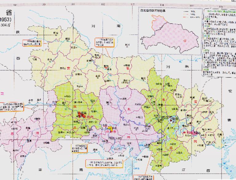
Historical map of administrative division (1949-1953) in Hubei Province, China
2023-08-23
Historical map of administrative division (1949-1953) in Hubei Province, China...
Home
Previous page
38
39
40
41
42
43
44
45
46
47
Next page
End
Go to
page
Jump
Most attention
Differences between WebGIS and desktop GIS, mobile GIS and 3D GIS
3D WebGIS-technology route
Differences between C language/ C++ / Java / Python
GIS spatial data sharing standard
Top 10 free open source NoSQL databases
Recent articles
Analysis of the development prospects of GIS in urban planning
The application of big data in the construction of smart cities
Making GIS 3D visualization simple - projected coordinate system
Making GIS 3D visualization simple - geographic coordinate system
What are the advantages of 3D GIS compared to 2D
Classified catalogue
Programming and development
Software application
Open source GIS
Space Technology
OpenGIS
Education and training
Python
JavaScript
Desktop
Database
WebGIS
Powered by TorCMS (
https://github.com/bukun/TorCMS
).