Based on WebGIS technology, the map can be online browsing, zoom, and can also be used for different map overlay operation.
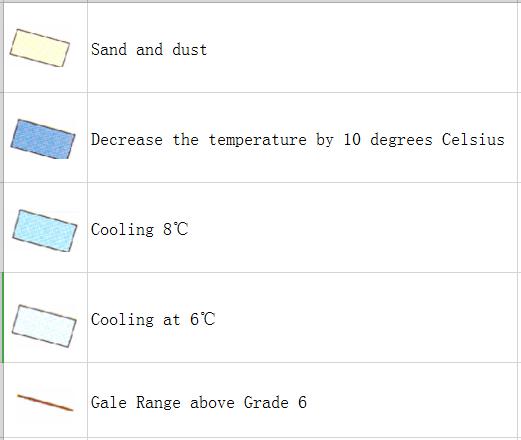
The online prediction map of cooling, gale and sand dust during major dust storm period in April 24th, 2010
Category: China Nature Disaster
Central point longitude
105
Central point latitude
40
Max zoom level
7
Min zoom level
4
Current zoom level
4
Map description
This map comes from the Major natural disaster Atlas of China in 2010 Surveying and Mapping Press and China Map Publishing House. The editing unit is the National Natural Resources and Geospatial Basic Information Database Project Office.
Comment list
(0)
Map evaluation
Map reference
Map overlay
Login for more operation .
Correlation maps
Recent maps
Mostly reviewed maps
- Historical map of the Southern Song Dynasty and the Jin Dynasty in 1208 AD
- The Historical Maps of Qi State, Lu State and Song State During the Warring States Period in China
- Historical Maps of Chu State, Wu State and Yue State in Spring and Autumn Period of China
- A Historical Map of the Early Site of Chinese Primitive Society (Paleolithic Age)
- Online map of non-metallic mineral resources in Wenchuan disaster area in China