Toggle navigation
GISLite
Document
Info
Tutorial
App
Map
User
Recent use
Most use
My collection
Personal Data
Login
Register
Current location:
Home
Map
Raster Data
Raster Data
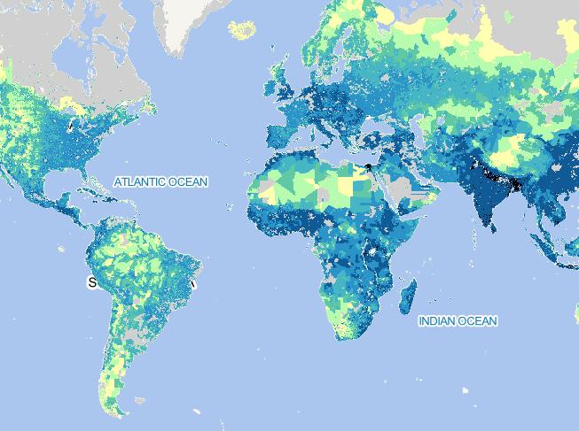
2020 Global Rural Population Forecast Distribution Map
2023-09-28
To provide global rural population base year and projection grids based on the Shared Socioeconomic Pathways (SSPs) data at a re...
2020
Global
Rural
Population Forecast
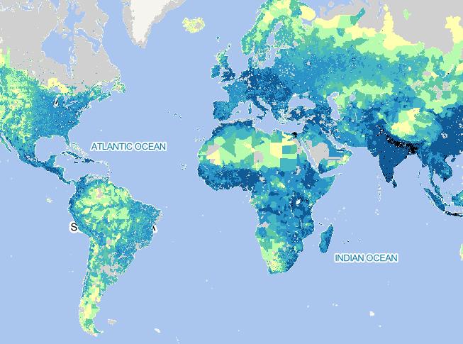
2010 Global Rural Population Forecast Distribution Map
2023-09-28
To provide global rural population base year and projection grids based on the Shared Socioeconomic Pathways (SSPs) data at a re...
2010
Global
Rural
Population Forecast
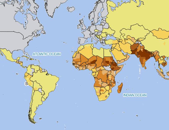
2002 Global Subnational Prevalence of Child Malnutrition Distribution Ma
2023-09-28
Global Subnational Prevalence of Child Malnutrition data set consists of estimates of the percentage of children with weight-for-...
2002
Global
Child Malnutrition
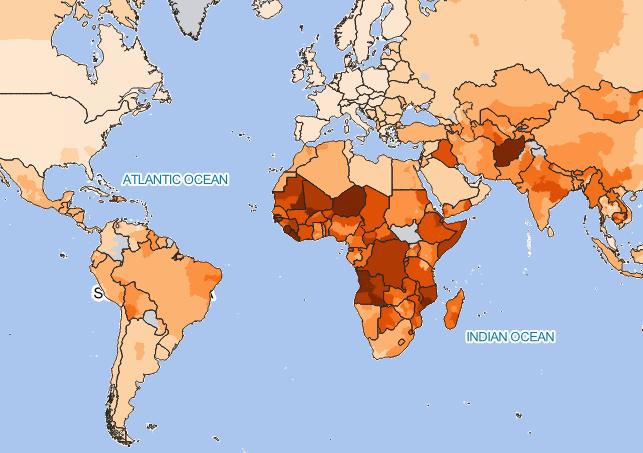
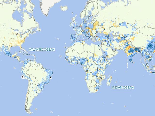
2000 Global Infant Mortality Rates Distribution Map
2023-09-28
Global Subnational Infant Mortality Rates data set consists of estimates of infant mortality rates for the year 2000. The infant ...
2000
Global
Infant Mortality Rates
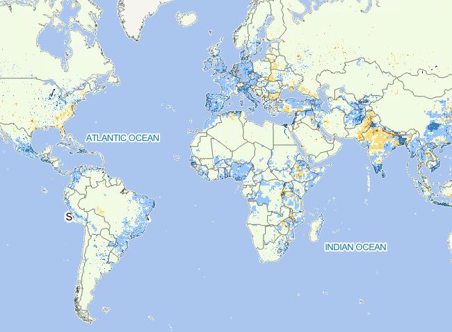
2000-1990 Global Estimated Net Migration Grids By Decade
2023-09-28
To provide estimates of net-migration (in-migration minus out-migration) per one-kilometer grid cell on a decadal basis for the ...
2000-1990
Global
Net Migration
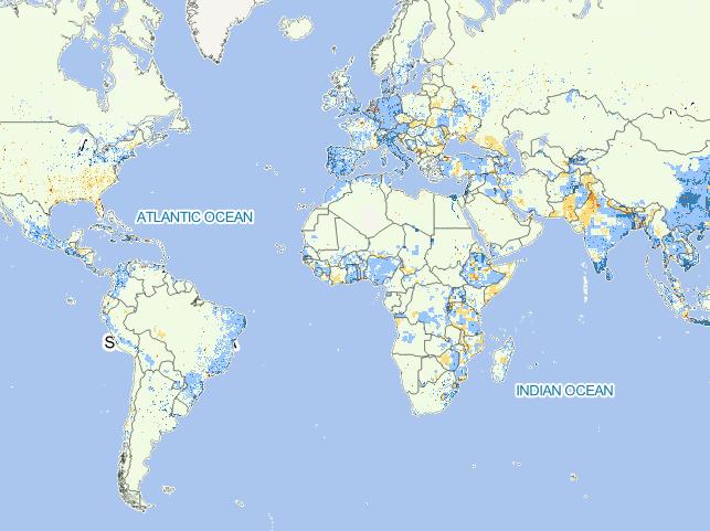
1980-1990 Global Estimated Net Migration Grids By Decade
2023-09-28
To provide estimates of net-migration (in-migration minus out-migration) per one-kilometer grid cell on a decadal basis for the ...
1980-1990
Global
Net Migration
1970-1980 Global Estimated Net Migration Grids By Decade
2023-09-28
To provide estimates of net-migration (in-migration minus out-migration) per one-kilometer grid cell on a decadal basis for the ...
1970-1980
Global
Net Migration
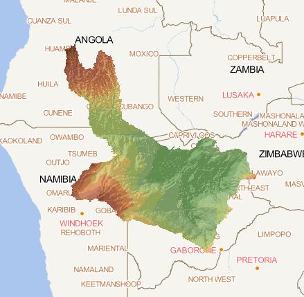
Okavango Basin DEM
2023-09-28
Digital Terrain Model within the Okavango Basin. Source: Data generated under the GIS EPSMO program (base:SRTM data). This dataset...
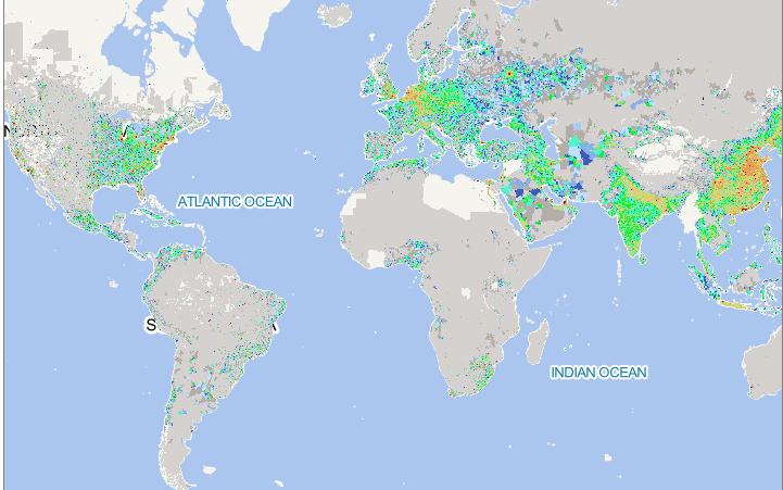
DEM
Okavango
2014 Global 0.1 ° Resolution Population Weighted Carbon Emissions Data
2023-09-13
The data results indicate that the eastern United States, eastern China, Japan, South Korea, India, Southeast Asia, and Europe a...
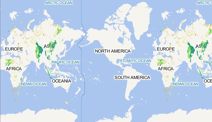
Population
Carbon Emissions
Rice distribution areas affected by extreme high temperatures in the near future globally_RCP85
2023-09-08
This data includes rice distribution areas affected by extreme high temperatures during historical periods (i.e. rice high-tempe...
Rice distribution areas
future
RCP85
Home
Previous page
1
2
3
4
5
6
Next page
End
Most attention
Differences between WebGIS and desktop GIS, mobile GIS and 3D GIS
3D WebGIS-technology route
Differences between C language/ C++ / Java / Python
GIS spatial data sharing standard
Top 10 free open source NoSQL databases
Recent articles
Analysis of the development prospects of GIS in urban planning
The application of big data in the construction of smart cities
Making GIS 3D visualization simple - projected coordinate system
Making GIS 3D visualization simple - geographic coordinate system
What are the advantages of 3D GIS compared to 2D
Classified catalogue
Programming and development
Software application
Open source GIS
Space Technology
OpenGIS
Education and training
Python
JavaScript
Desktop
Database
WebGIS
Powered by TorCMS (
https://github.com/bukun/TorCMS
).