General Map
2023-08-23
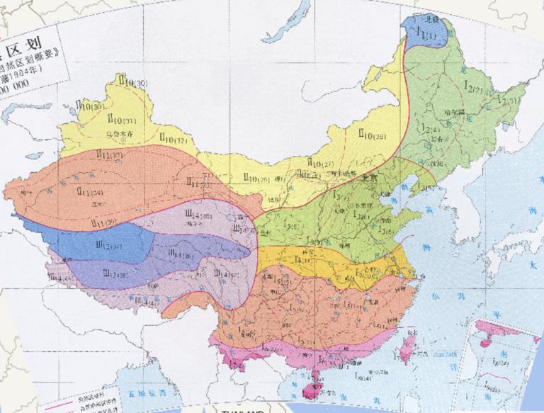
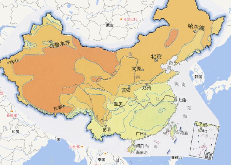
Online map of Chinese natural zoning (1984)...
2023-08-23
The black line indicates: Contour line (unit: potential Shi Mi)
The red line indicates the low pressure axis
The map comes from th...
2023-08-23
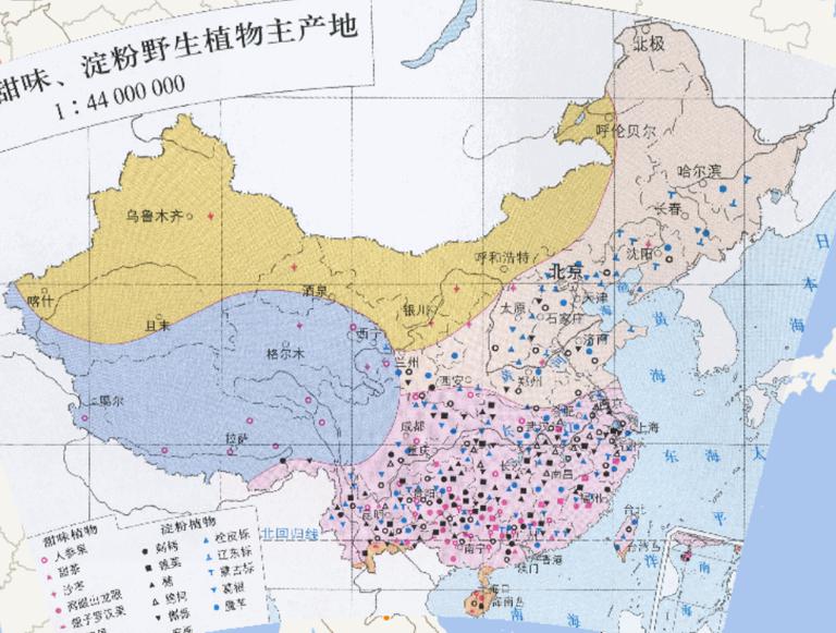
Online map of the main origin of main sweet, starch wild plants in China....
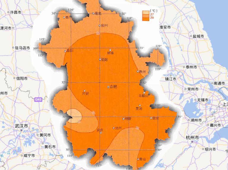
2023-08-23
Map source
The online map of July average temperature in Anhui Province, China
is from the atlas of China National Geographic Map...
2023-08-23
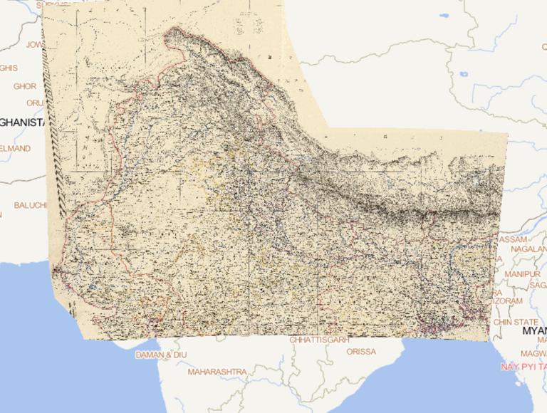
Map source
The online map of January precipitation in China is
from the China Atlas in the China Atlas World
Atlas (Social Celebr...
2023-08-23
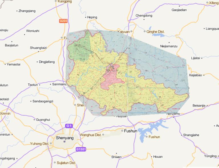
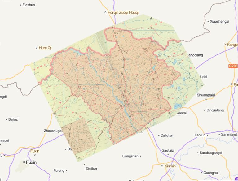
Map of Zhangwu County, Fuxin City, Liaoning Province in 1995...

2023-08-23
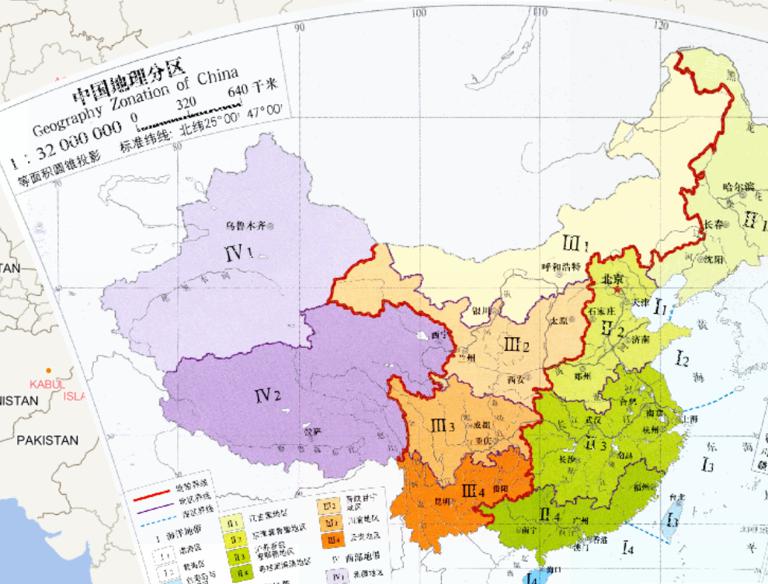
name
Position range
Main provinces
Division basis
The northern region
Generally located in Daxinganling, Wushaoling east, Qin...