Toggle navigation
GISLite
Document
Info
Tutorial
App
Map
User
Recent use
Most use
My collection
Personal Data
Login
Register
Current location:
Home
Map
General Map
General Map
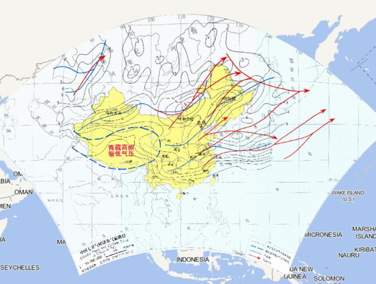
Climatic Front and Cyclone Track of China in July
2023-08-23
Climatic Front and Cyclone Track of China in July...
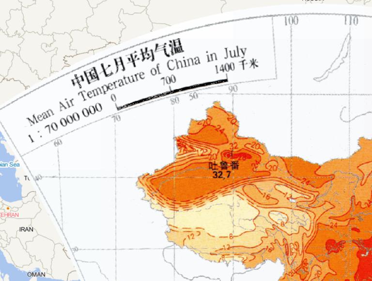
China 's July average temperature online map
2023-08-23
China 's July average temperature online map...
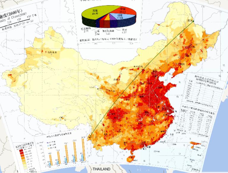
China Population Density (2000) Online Map
2023-08-23
China Population Density (2000) Online Map...
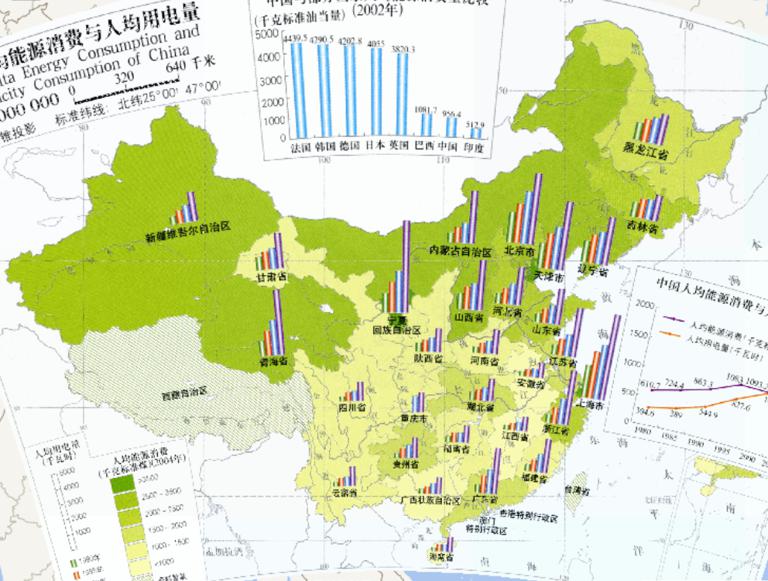
Per Capita Enery Consumption and Electricity Consumption of China (1:3200 million)
2023-08-23
Per Capita Enery Consumption and Electricity Consumption of China (1:3200 million)...
China's urban and rural construction land online map (1:32 million)
2023-08-23
China's urban and rural construction land online map (1:32 million)...
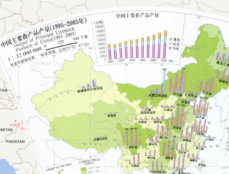
Online Output of Major Animal Products in China (1995-2005) (1: 32 million)
2023-08-23
Online Output of Major Animal Products in China (1995-2005) (1: 32 million)...
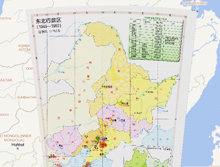
History map of North Jiangsu Administrative Region (1949-1953)
2023-08-23
History map of North Jiangsu Administrative Region (1949-1953)....
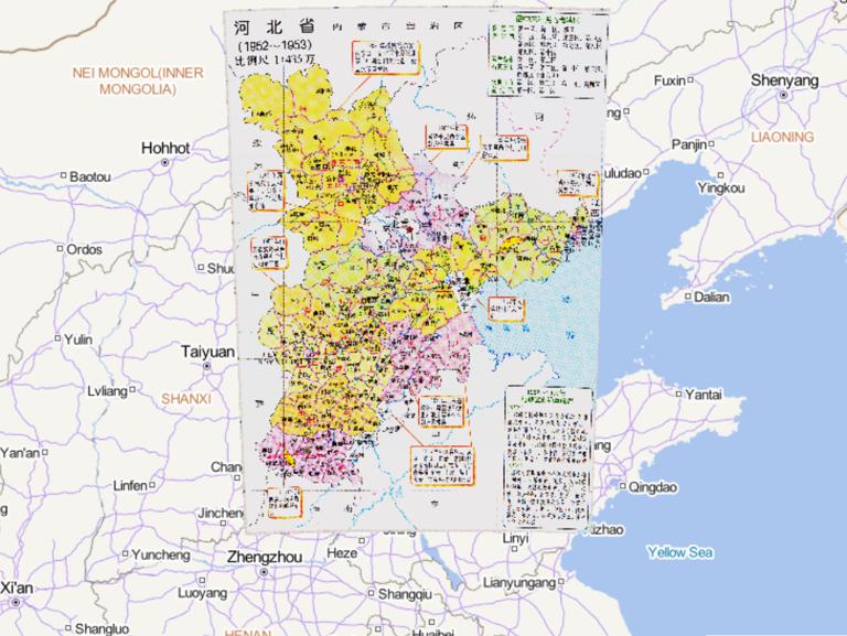
History map of administrative division (1952-1953) in Henan Province, China
2023-08-23
History map of administrative division (1952-1953) in Henan Province, China...
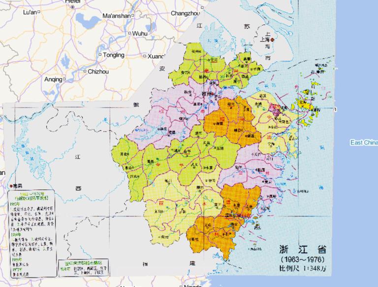
Administrative Map of Zhejiang Province, China (1963-1976)
2023-08-23
Administrative Map of Zhejiang Province, China (1963-1976)...
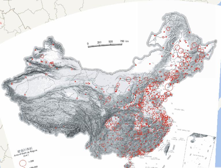
China 's urban built - up area (2000) Online map
2023-08-23
The built-up area refers to the non-agricultural production and construction section in the city administrative area which has be...
Home
Previous page
87
88
89
90
91
92
93
94
95
96
Next page
End
Go to
page
Jump
Most attention
Differences between WebGIS and desktop GIS, mobile GIS and 3D GIS
3D WebGIS-technology route
Differences between C language/ C++ / Java / Python
GIS spatial data sharing standard
Top 10 free open source NoSQL databases
Recent articles
Analysis of the development prospects of GIS in urban planning
The application of big data in the construction of smart cities
Making GIS 3D visualization simple - projected coordinate system
Making GIS 3D visualization simple - geographic coordinate system
What are the advantages of 3D GIS compared to 2D
Classified catalogue
Programming and development
Software application
Open source GIS
Space Technology
OpenGIS
Education and training
Python
JavaScript
Desktop
Database
WebGIS
Powered by TorCMS (
https://github.com/bukun/TorCMS
).