Toggle navigation
GISLite
Document
Info
Tutorial
App
Map
User
Recent use
Most use
My collection
Personal Data
Login
Register
Current location:
Home
Map
General Map
General Map
Online map of threshold distribution of 100 years continuous rainfall days in China
2023-08-23
Map source The online map of threshold distribution of 100 years continuous rainfall days in China is derived from the Atlas of Ex...
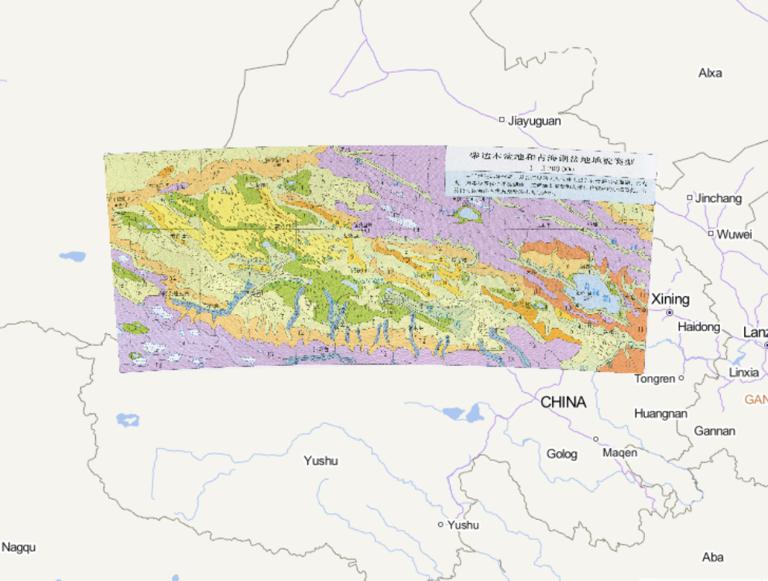
Geomorphological Types of Qaidam Basin and Qinghai Lake Basin in China
2023-08-23
The figure represents the area 1, lake plains 2, floodplain and terraces 3, alluvial, lake plains 4, alluvial plain 5, flood plot ...
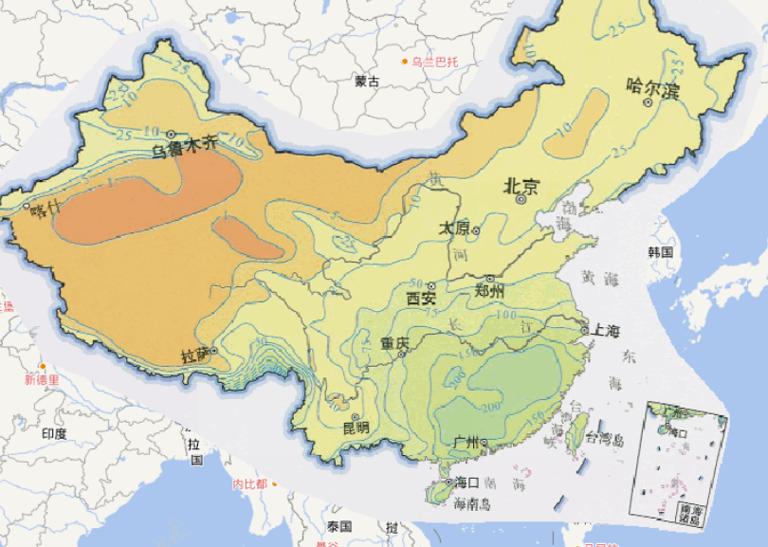
Online map of April precipitation in China
2023-08-23
Map source The online map of April precipitation in China comes from the China Atlas in the China Atlas World Atlas (Commemorative...
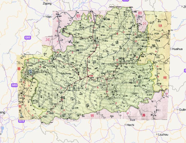
China Guizhou Province Online Map (1933)
2023-08-23
China Guizhou Province Online Map (1933)...
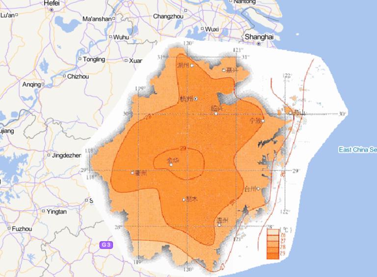
Online map of July average temperature in Zhejiang Province, China
2023-08-23
Map source The online map of the July average temperature in Zhejiang Province, China is from the atlas of China National Geograp...
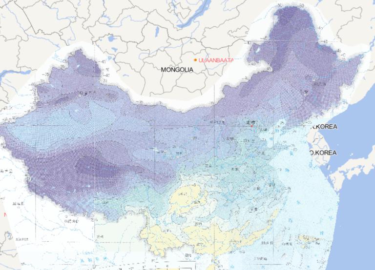
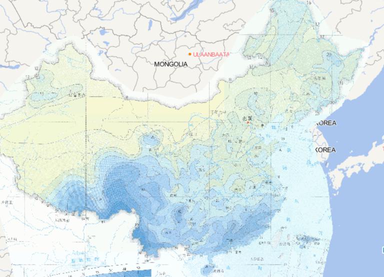
Online map of January minimum daily temperature distribution in China
2023-08-23
Map source The online map of January minimum daily temperature distribution in China is derived from the Atlas of Extreme Weather ...
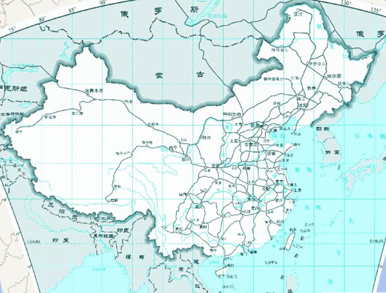
Online map of railway traffic in China (1: 35 million)
2023-08-23
China's railway hub, basically are located in the transport network developed, main line intersection, traffic concentration of t...
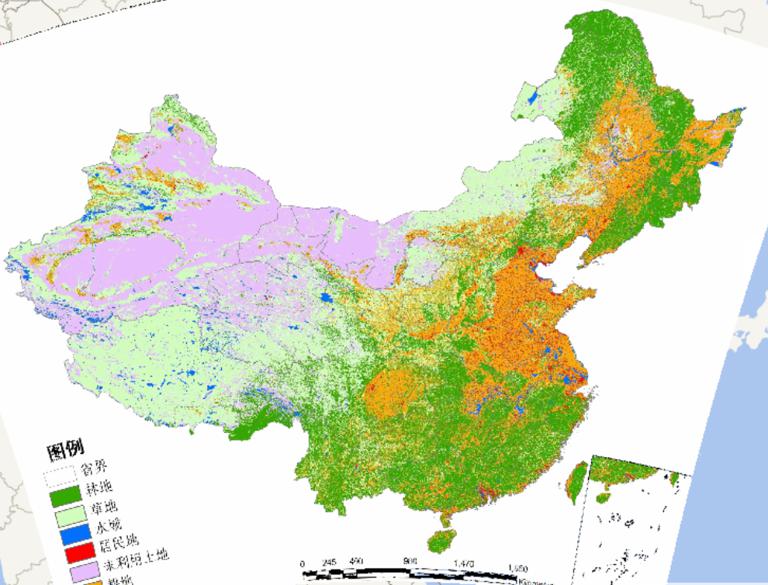
Online Map of Forest Land, Grassland and Waters in China
2023-08-23
Online Map of Forest Land, Grassland and Waters in China...
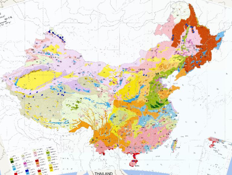
China Soil Types (Systematic Classification) Online Map
2023-08-23
China Soil Types (Systematic Classification) Online Map...
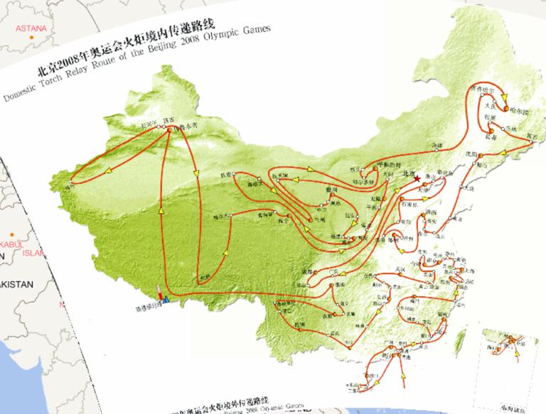
Online map of Beijing 2008 Olympic torch relay route
2023-08-23
Online map of Beijing 2008 Olympic torch relay route...
Home
Previous page
56
57
58
59
60
61
62
63
64
65
Next page
End
Go to
page
Jump
Most attention
Differences between WebGIS and desktop GIS, mobile GIS and 3D GIS
3D WebGIS-technology route
Differences between C language/ C++ / Java / Python
GIS spatial data sharing standard
Top 10 free open source NoSQL databases
Recent articles
Analysis of the development prospects of GIS in urban planning
The application of big data in the construction of smart cities
Making GIS 3D visualization simple - projected coordinate system
Making GIS 3D visualization simple - geographic coordinate system
What are the advantages of 3D GIS compared to 2D
Classified catalogue
Programming and development
Software application
Open source GIS
Space Technology
OpenGIS
Education and training
Python
JavaScript
Desktop
Database
WebGIS
Powered by TorCMS (
https://github.com/bukun/TorCMS
).