General Map
2023-08-23
Map source
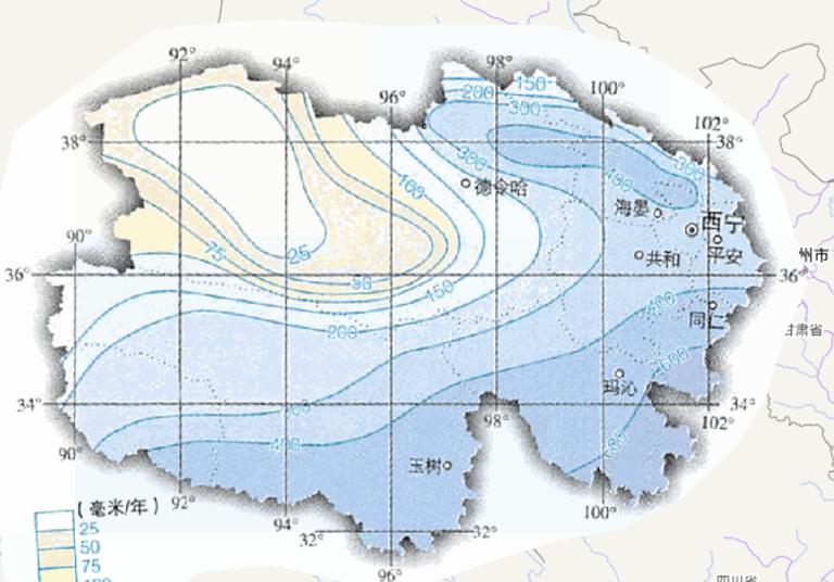
The online map of annual precipitation in Qinghai Province, China
comes from the atlas of China National Geographic Map...
2023-08-23
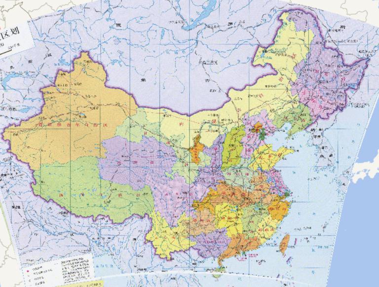
China 's provincial administrative divisions
1.Administrative division: the state of the administrative
division of the region, k...
2023-08-23
Map source
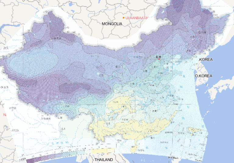
The online map of extreme threshold distribution of daily minimum temperature
in China is derived from the Atlas of Ext...
2023-08-23
Map source
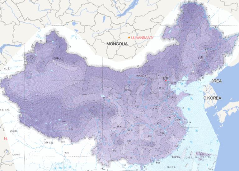
The online map of extreme daily temperature distribution in China
is derived from the Atlas of Extreme Weather and Clim...
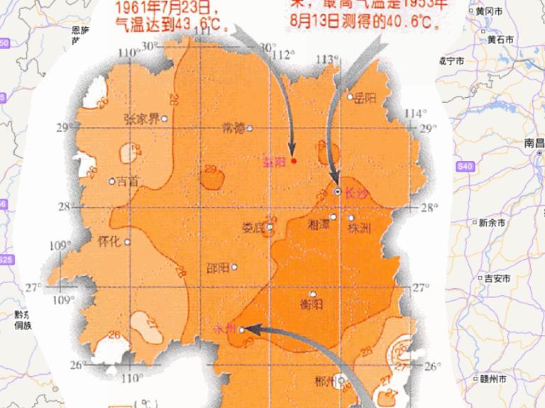
2023-08-23
Map source
The online map of the July average temperature in Hunan Province, China
is derived from the atlas of China National Ge...
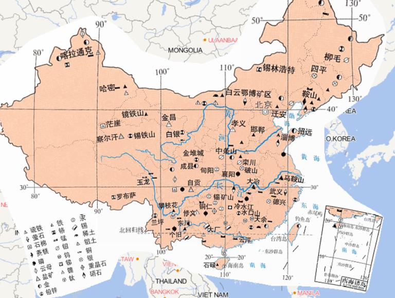
2023-08-23
Map source
The online map of China ’s major non-energy mineral resources is
derived from the atlas of China National Geographic Ma...
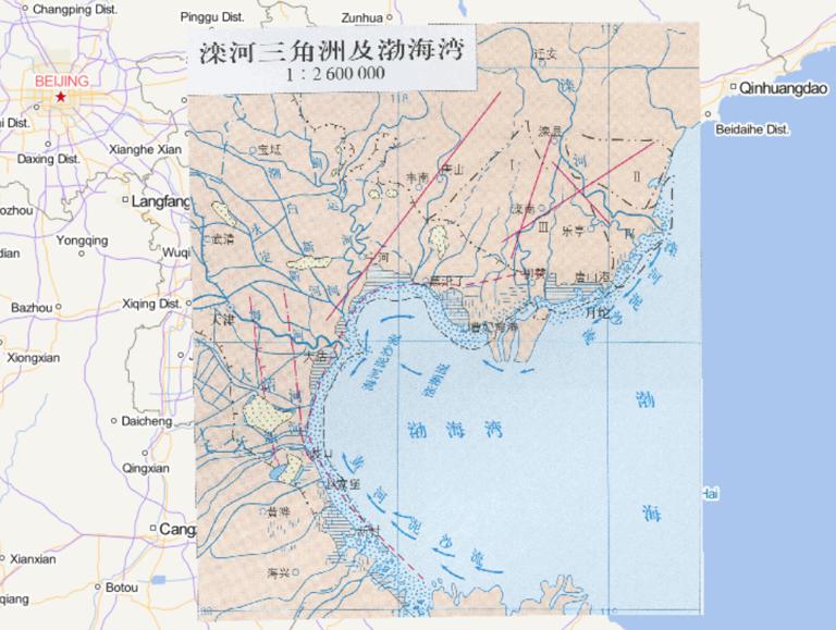
2023-08-23
phases of the Luan River delta from the old to the new.
The figure comes from "China's physical geography Atlas" in
China's Luan ...
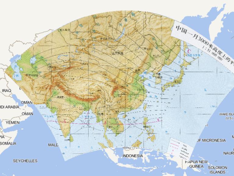
2023-08-23
Note
Black lines in the figure indicate: Pneumatic flow
The red line in the figure indicates the high sub-axis
The red dotted line...
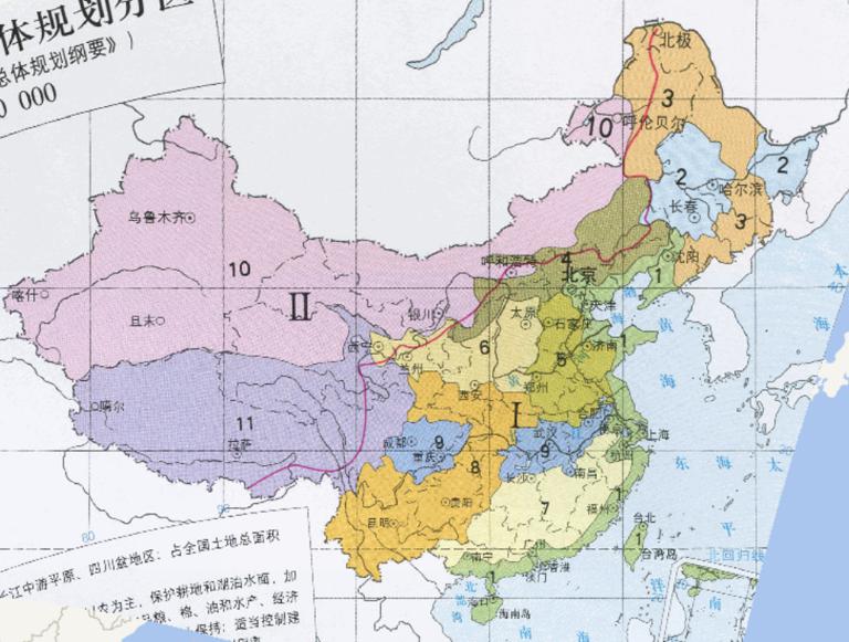
2023-08-23
The figure represents the area
1. Coastal area: 5.75% of the total land area of the country
The direction of use: to strengthen ...
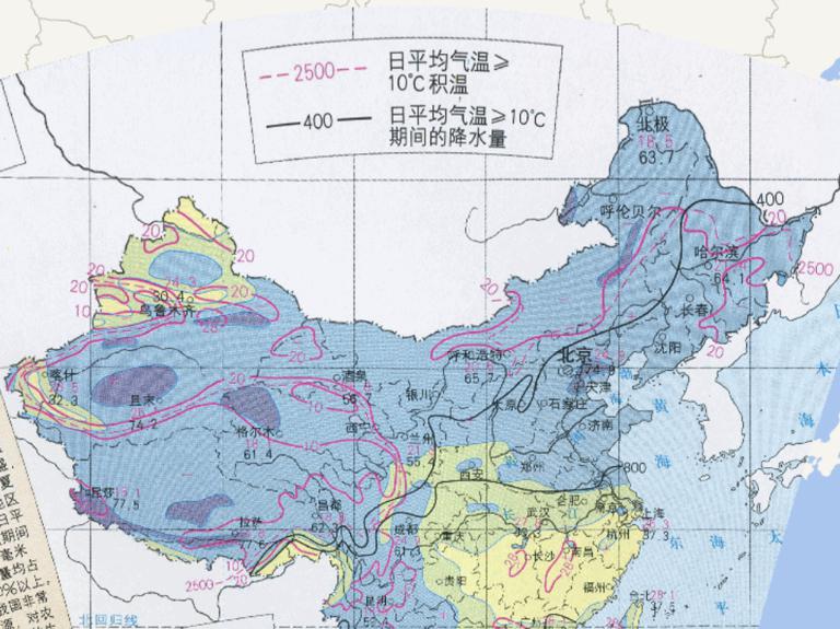
2023-08-23
Online map of high temperature period and rainy periods consistent in China...