Toggle navigation
GISLite
Document
Info
Tutorial
App
Map
User
Recent use
Most use
My collection
Personal Data
Login
Register
Current location:
Home
Map
General Map
General Map
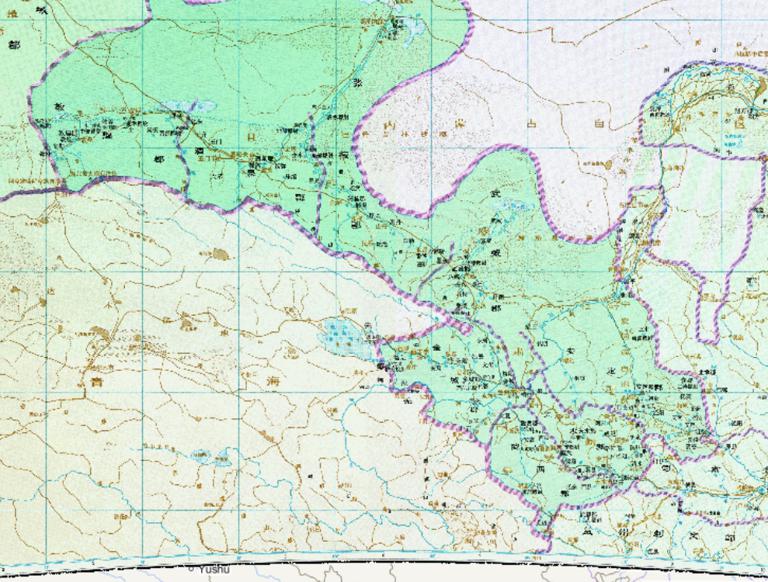
The history map of Qiongzhou's Prefectural Governor Department in the Western Han Dynasty of China
2023-08-23
The history map of Qiongzhou's Prefectural Governor Department in the Western Han Dynasty of China....
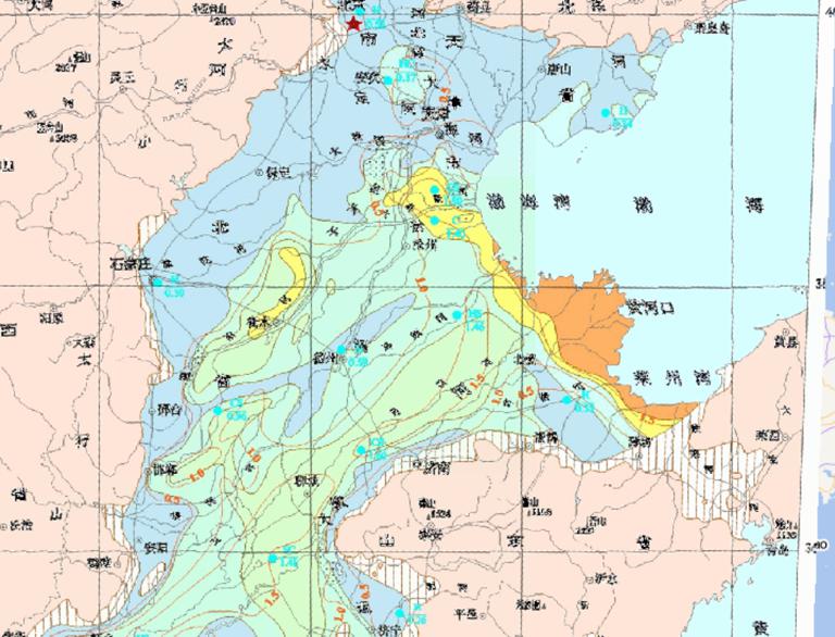
Deep water chemistry map of Huang Huai Hai Plain
2023-08-23
In the map, we can see the map of Deep water chemistry map of Huang Huai Hai Plain.The descriptive datas of the map are water be...
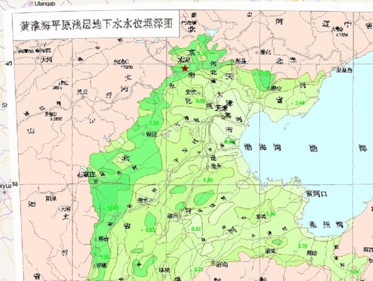
Shallow depth groundwater table in Huang - Huai - Hai Plain, China
2023-08-23
Shallow depth groundwater table in Huang - Huai - Hai Plain, China...
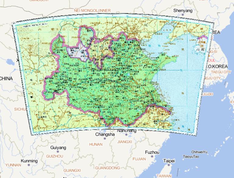
The Five Dynasties and Ten Kingdoms Period of China and the Historical Map of the North Han Dynasty
2023-08-23
The Five Dynasties and Ten Kingdoms Period of China and the Historical Map of the North Han Dynasty...
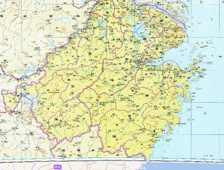
Historical map of Jiangnan East Road in the Southern Song Dynasty
2023-08-23
Historical map of Jiangnan East Road in the Southern Song Dynasty....
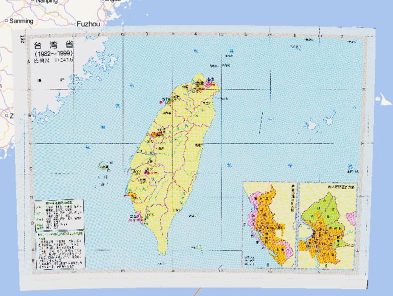
History map of administrative division (1982-1999) in Taiwan Province, China
2023-08-23
History map of administrative division (1982-1999) in Taiwan Province, China....
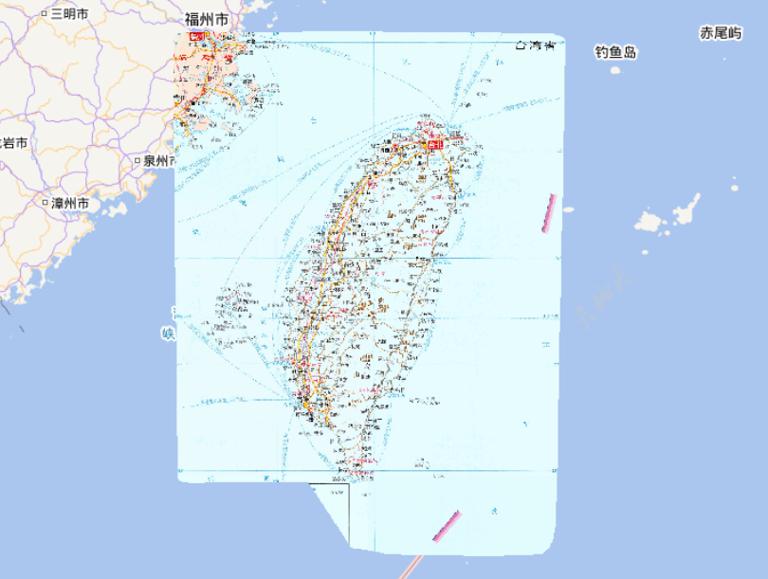
Online map of Taiwan Province in China
2023-08-23
Map source The online map of Taiwan Province in China is derived from China Atlas: Large Character Book, edited by Du Xiurong and...
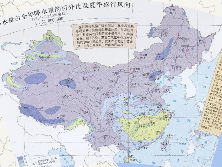
Summer rainfall in China as a percentage of the total annual rainfall and the prevailing wind direction in summer.
2023-08-23
The summer precipitation is 30% ~ 50% of the annual precipitation in the south and 65% ~ 75% of the annual precipitation in the n...
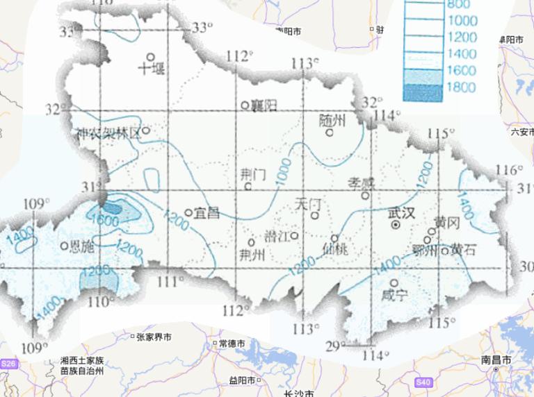
Online map of annual precipitation in Hubei Province, China
2023-08-23
Map source The online map of annual precipitation in Hubei Province, China comes from the atlas of China National Geographic Map, ...
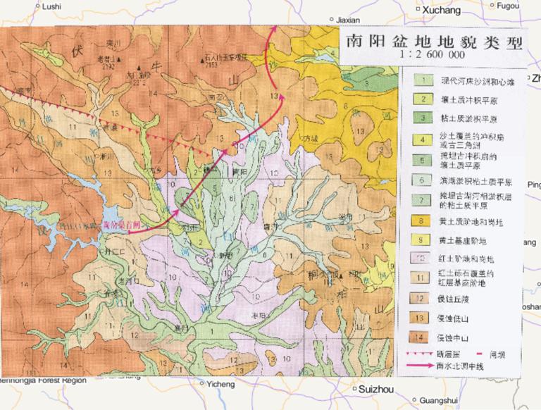
Online Map of Geomorphic Types of Nanyang Basin, China
2023-08-23
Geomorphic Types of Nanyang Basin, 1, the modern river bed sandbar and the new beach 2, alluvial plains 3, clay silt plains 4, san...
Home
Previous page
1
2
3
4
5
6
7
8
9
10
Next page
End
Go to
page
Jump
Most attention
Differences between WebGIS and desktop GIS, mobile GIS and 3D GIS
3D WebGIS-technology route
Differences between C language/ C++ / Java / Python
GIS spatial data sharing standard
Top 10 free open source NoSQL databases
Recent articles
Analysis of the development prospects of GIS in urban planning
The application of big data in the construction of smart cities
Making GIS 3D visualization simple - projected coordinate system
Making GIS 3D visualization simple - geographic coordinate system
What are the advantages of 3D GIS compared to 2D
Classified catalogue
Programming and development
Software application
Open source GIS
Space Technology
OpenGIS
Education and training
Python
JavaScript
Desktop
Database
WebGIS
Powered by TorCMS (
https://github.com/bukun/TorCMS
).