Toggle navigation
GISLite
Document
Info
Tutorial
App
Map
User
Recent use
Most use
My collection
Personal Data
Login
Register
Current location:
Home
Map
General Map
General Map
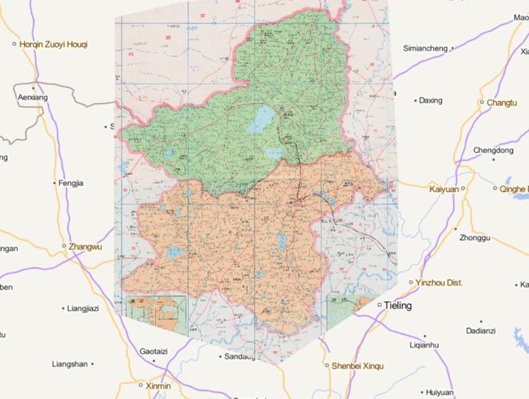
Map of Faku County, Kangping County, Shenyang City, Liaoning Province, 1995
2023-08-23
Map of Faku County, Kangping County, Shenyang City, Liaoning Province, 1995...
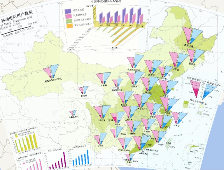
Number of Users of Fixed Telephone and Mobile Phone of China
2023-08-23
Number of Users of Fixed Telephone and Mobile Phone of China...
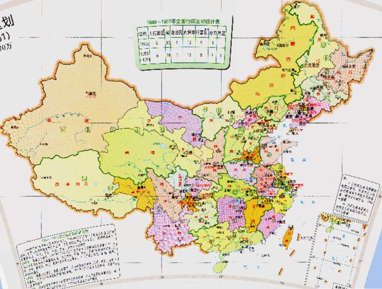
Historical Map of China's Administrative Divisions (1949-1951)
2023-08-23
Historical Map of China's Administrative Divisions (1949-1951)...
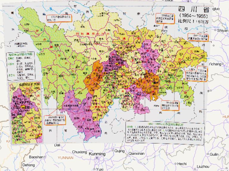
A Historical Map of the Administrative Divisions of Sichuan Province from 1954 to 1955
2023-08-23
A Historical Map of the Administrative Divisions of Sichuan Province from 1954 to 1955...
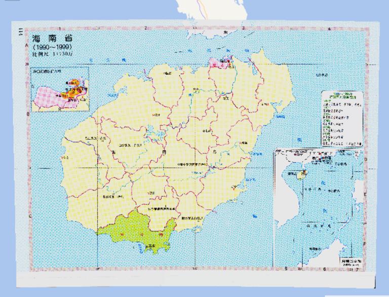
Online map of administrative divisions of Hainan Province, China 1990-1999
2023-08-23
Online map of administrative divisions of Hainan Province, China 1990-1999...
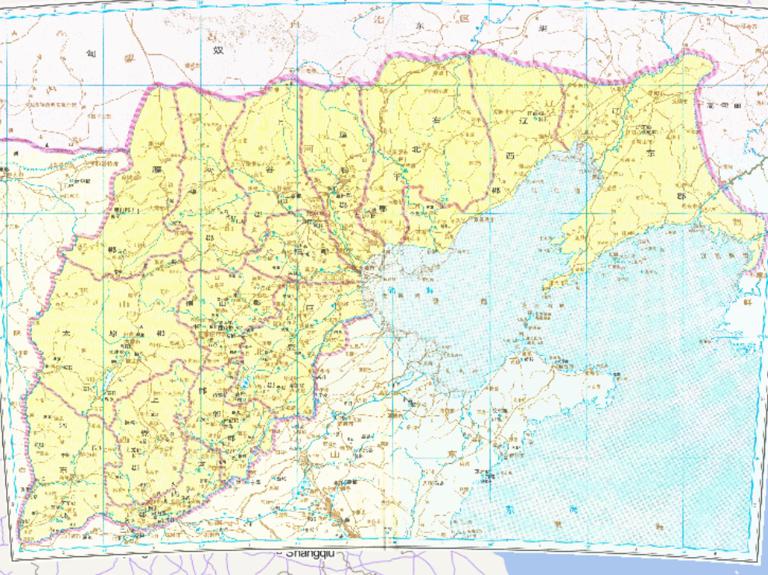
The historical map of each country in the northern part of Shandong Province during the Qin Dynasty in China
2023-08-23
The historical map of each country in the northern part of Shandong Province during the Qin Dynasty in China...
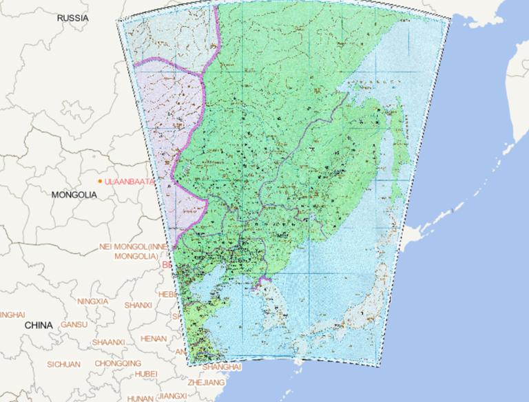
The historical map of northern Hebei road in the Tang Dynasty of China
2023-08-23
The historical map of northern Hebei road in the Tang Dynasty of China...
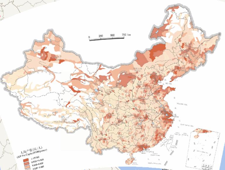
Online map of China's per capita GDP (2000)
2023-08-23
Online map of China's per capita GDP (2000)...
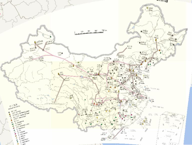
China 's mineral resources and transport oil pipeline distribution online map
2023-08-23
Mineral resources (mineral resources) refers to the occurrence of underground or surface, formed by the geological effect of soli...
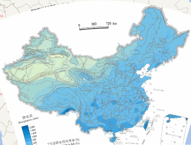
Online Maps of Average Summer Precipitation and Precipitation Variability in China
2023-08-23
Online Maps of Average Summer Precipitation and Precipitation Variability in China...
Home
Previous page
9
10
11
12
13
14
15
16
17
18
Next page
End
Go to
page
Jump
Most attention
Differences between WebGIS and desktop GIS, mobile GIS and 3D GIS
3D WebGIS-technology route
Differences between C language/ C++ / Java / Python
GIS spatial data sharing standard
Top 10 free open source NoSQL databases
Recent articles
Analysis of the development prospects of GIS in urban planning
The application of big data in the construction of smart cities
Making GIS 3D visualization simple - projected coordinate system
Making GIS 3D visualization simple - geographic coordinate system
What are the advantages of 3D GIS compared to 2D
Classified catalogue
Programming and development
Software application
Open source GIS
Space Technology
OpenGIS
Education and training
Python
JavaScript
Desktop
Database
WebGIS
Powered by TorCMS (
https://github.com/bukun/TorCMS
).