Toggle navigation
GISLite
Document
Info
Tutorial
App
Map
User
Recent use
Most use
My collection
Personal Data
Login
Register
Current location:
Home
Map
General Map
General Map
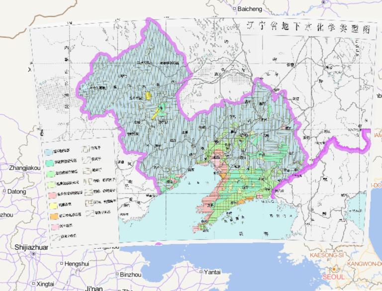
Map of the types of groundwater chemistry in Liaoning Province, China
2023-08-23
In the map, we can see the map of the types of groundwater chemistry in Liaoning Province, China. At the lower left corner of the ...
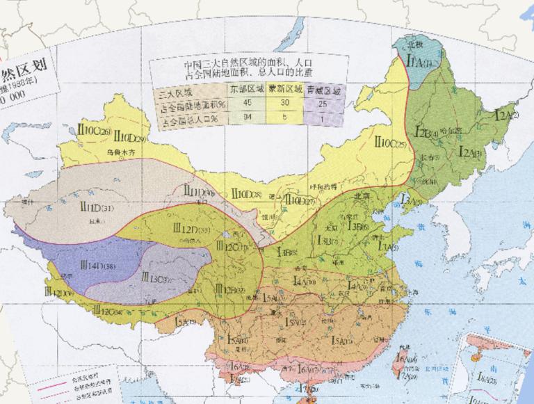
China 's agricultural natural zoning map
2023-08-23
China 's agricultural natural zoning map...
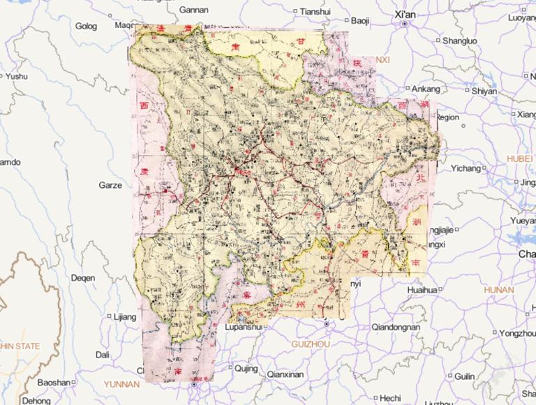
An online map of Sichuan Province during the Republic of China in 1933
2023-08-23
An online map of Sichuan Province during the Republic of China in 1933...
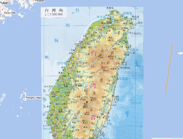
Administrative map of Taiwan Province, China
2023-08-23
Administrative map of Taiwan Province ,China...
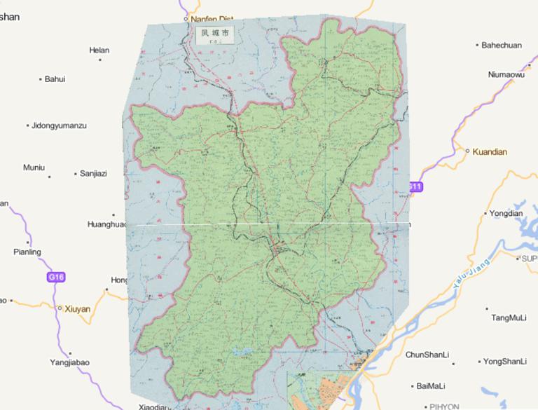
Map of Fengcheng City, Dandong City, Liaoning Province, in 1995
2023-08-23
Map of Fengcheng City, Dandong City, Liaoning Province, in 1995...
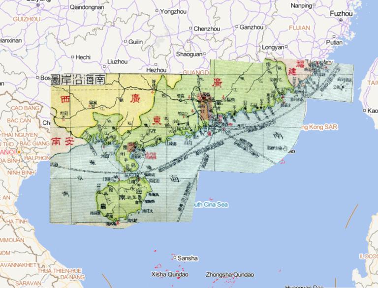
Map of the Coastal Area of Hainan during the Period of the Republic of China in 1933
2023-08-23
Map of the Coastal Area of Hainan during the Period of the Republic of China in 1933...
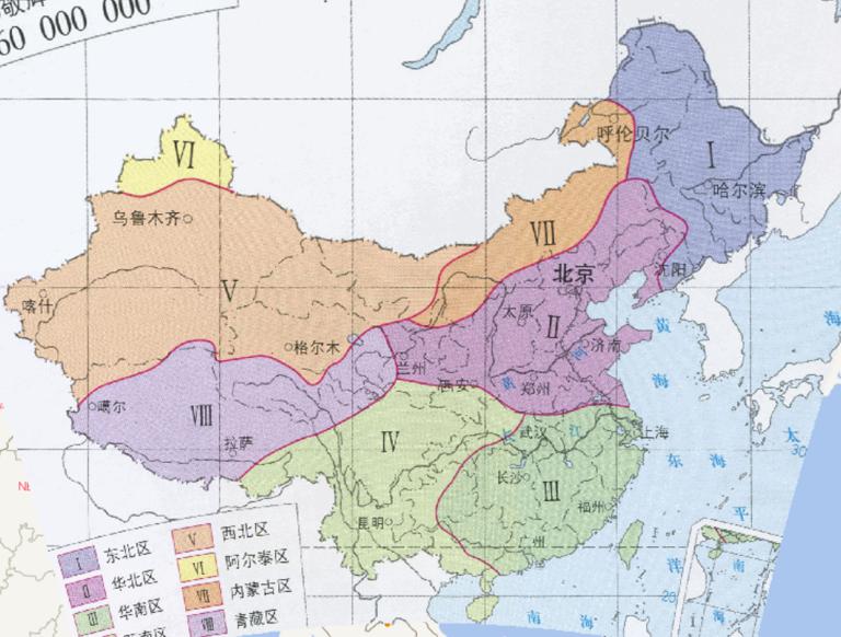
Hydrographic Regionalization of Chinese Rivers (1956) Online Map
2023-08-23
In the map, we can see the map of hydrographic Regionalization of Chinese Rivers (1956).The scale of the map is 1:60000000.The Ma...
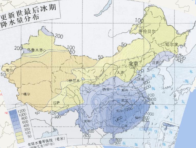
Online distribution of annual precipitation in the last glacial period in China during the Late Pleistocene
2023-08-23
Online distribution of annual precipitation in the last glacial period in China during the Late Pleistocene...
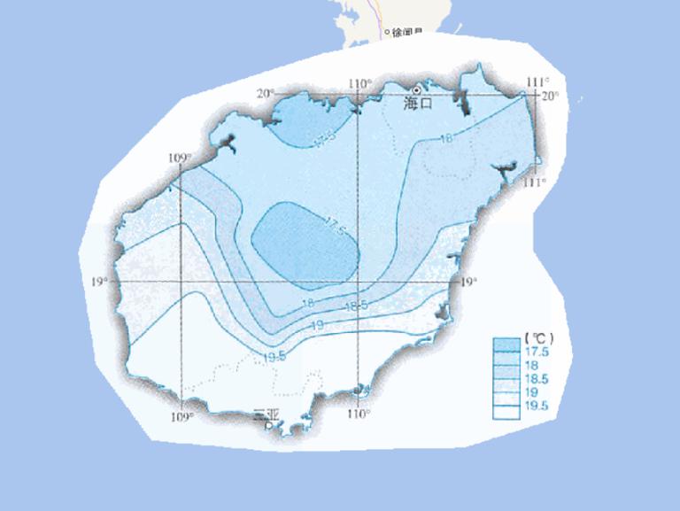
Online map of January average temperature in Hainan Province, China
2023-08-23
Map source The online map of January average temperature in Hainan Province, China is from the atlas of China National Geographic ...
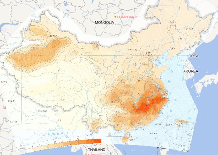
Online map of threshold distribution of 50 years continuous high temperature days in China
2023-08-23
Map source The online map of threshold distribution of 50 years continuous high temperature days in China is derived from the Atla...
Home
Previous page
97
98
99
100
101
102
103
104
105
106
Next page
End
Go to
page
Jump
Most attention
Differences between WebGIS and desktop GIS, mobile GIS and 3D GIS
3D WebGIS-technology route
Differences between C language/ C++ / Java / Python
GIS spatial data sharing standard
Top 10 free open source NoSQL databases
Recent articles
Analysis of the development prospects of GIS in urban planning
The application of big data in the construction of smart cities
Making GIS 3D visualization simple - projected coordinate system
Making GIS 3D visualization simple - geographic coordinate system
What are the advantages of 3D GIS compared to 2D
Classified catalogue
Programming and development
Software application
Open source GIS
Space Technology
OpenGIS
Education and training
Python
JavaScript
Desktop
Database
WebGIS
Powered by TorCMS (
https://github.com/bukun/TorCMS
).