China Nature Disaster
2023-08-23
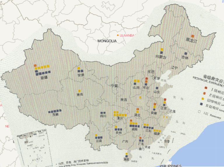
Map source
The online map of provincial emergency response by province and level in China in 2016
comes from the Atlas of China's ...
2023-08-23
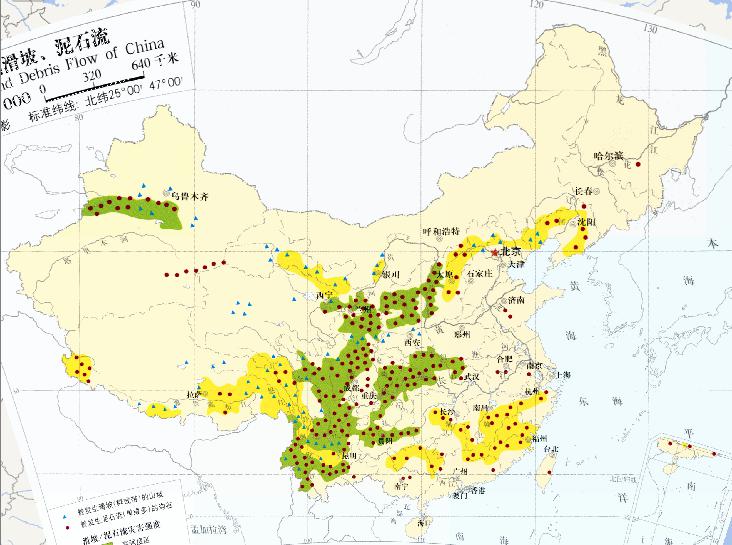
China landslide, debris flow (1: 32 million) online map.
The blue triangle in the picture indicates the slopes where landslides (g...
2023-08-23
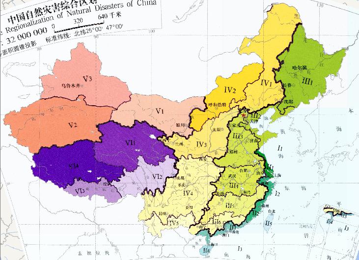
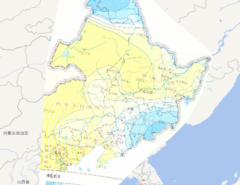
Online thematic map of Chinese Integrated Regionalization Natural Disaster (1: 32 million).
Marine disaster zones:
Bohai and Yel...
2023-08-23
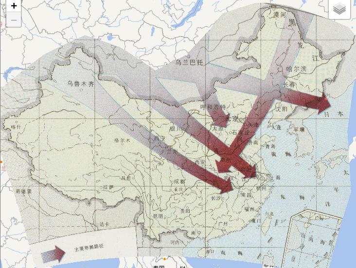
China's agricultural meteorological disasters
major cold wave path online map was derived from
the National Agricultural Atlas of...
2023-08-23
This map comes from the Major natural disaster Atlas of China in 2010
Surveying and Mapping Press and China Map Publishing House....
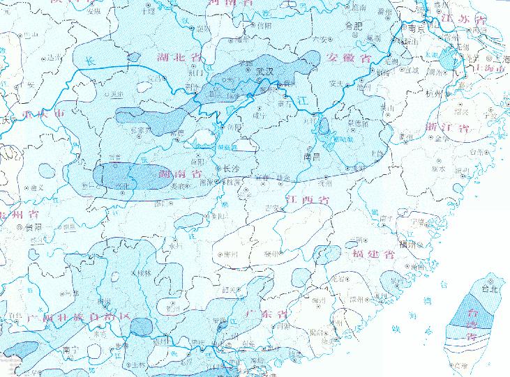
Online map of accumulated precipitation of No.1409 "Rammasun" super typhoon from July 18 to 21, 2014
2023-08-23
Map source
The online map of accumulated precipitation of No.1409 "Rammasun"
super typhoon from July 18 to 21, 2014 is from
the At...
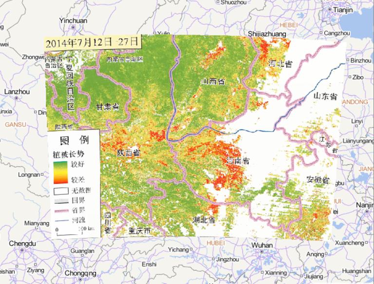
2023-08-23
Map source
The online map of vegetation growth in central and Western Henan
and southern Shaanxi from July 12 to 27, 2014, it is f...
2023-08-23
Map source
The online map of China's May disaster distribution in 2014 is from
the Atlas of natural disasters in China in 2014, th...
2023-08-23
This map comes from the Major natural disaster Atlas of China in 2010
Surveying and Mapping Press and China Map Publishing House....
2023-08-23
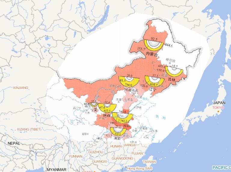
Map source
The online map of people affected by drought in Northeast China,
Huanghuai and other places from June to August 2014 i...