Toggle navigation
GISLite
Document
Info
Tutorial
App
Map
User
Recent use
Most use
My collection
Personal Data
Login
Register
Current location:
Home
Map
China Historical Disaster
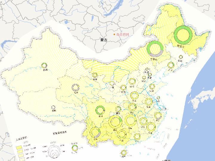
China Fire Area, Damaged Forest Area Online Map(2010)
2023-08-23
This map comes from the Major natural disaster Atlas of China in 2010 Surveying and Mapping Press and China Map Publishing House. ...
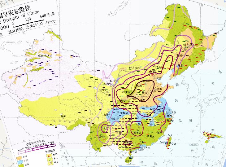
China's drought hazard (1:3200 million) online map
2023-08-23
China's drought hazard (1:3200 million) online map. The drought risk area is divided into five areas: light disaster area, light d...
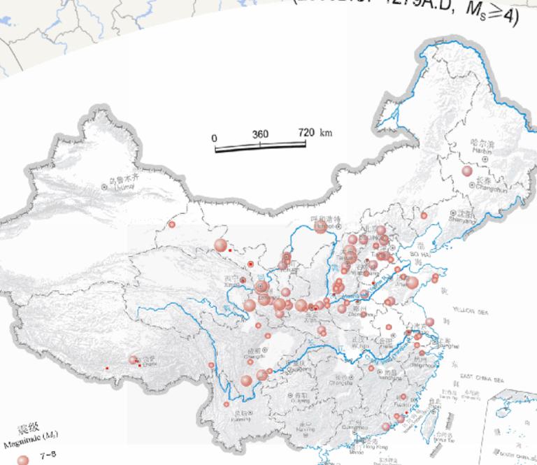
Epicentral distribution of China Earthquakes online map (2300 BC to 1279 AD, magnitude 4 or above)
2023-08-23
Epicentral distribution of China Earthquakes online map (2300 BC to 1279 AD, magnitude 4 or above)...
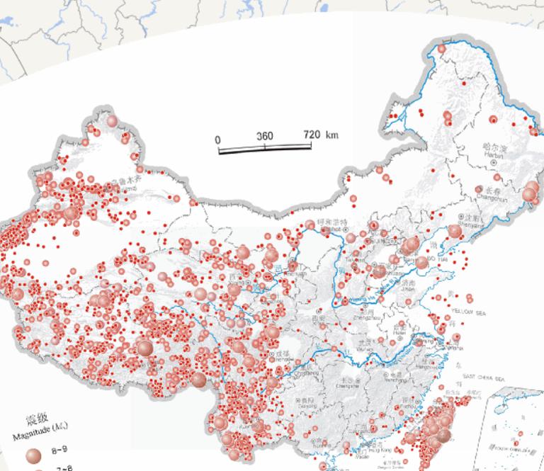
Epicentral distribution of China Earthquakes online map (from 1949 to 2000, magnitude 4 or above)
2023-08-23
Epicentral distribution of China Earthquakes online map (from 1949 to 2000, magnitude 4 or above)...
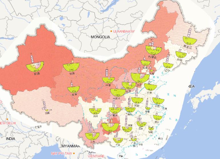
Online map of disaster situation of people affected by wind and hail disasters in China in 2014
2023-08-23
Map source The online map of disaster situation of people affected by wind and hail disasters in China in 2014 comes from Atlas o...
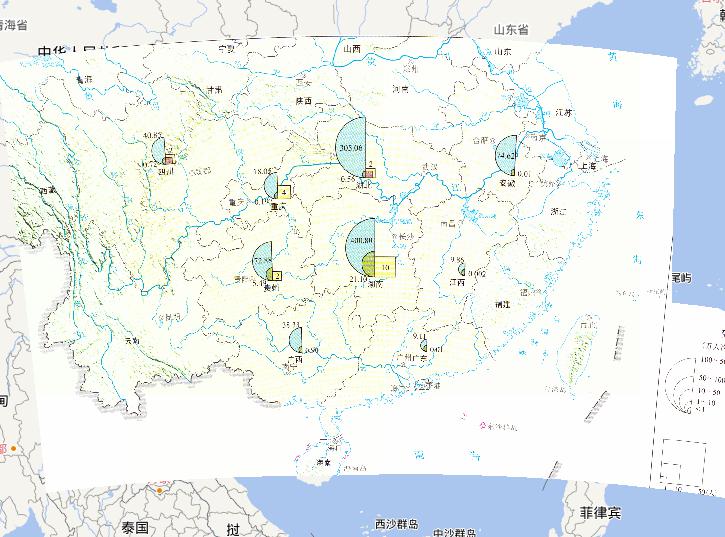
Flood-hit population online map from June 6th,2010 to June 10th during the earth June's flood disaster period in South China
2023-08-23
This map comes from the Major natural disaster Atlas of China in 2010 Surveying and Mapping Press and China Map Publishing House....
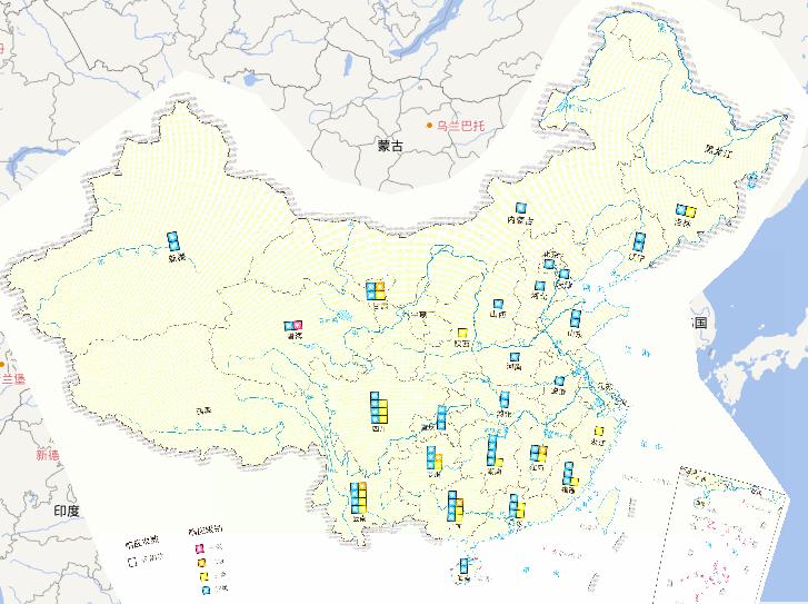
Rescue emergency response online map for major natural disaster in 2010
2023-08-23
This map comes from the Major natural disaster Atlas of China in 2010 Surveying and Mapping Press and China Map Publishing House....
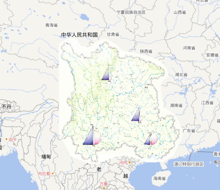
Online map of drought agriculture drought resistance benifits in Southwest China in 2010
2023-08-23
This map comes from the Major natural disaster Atlas of China in 2010 Surveying and Mapping Press and China Map Publishing House....
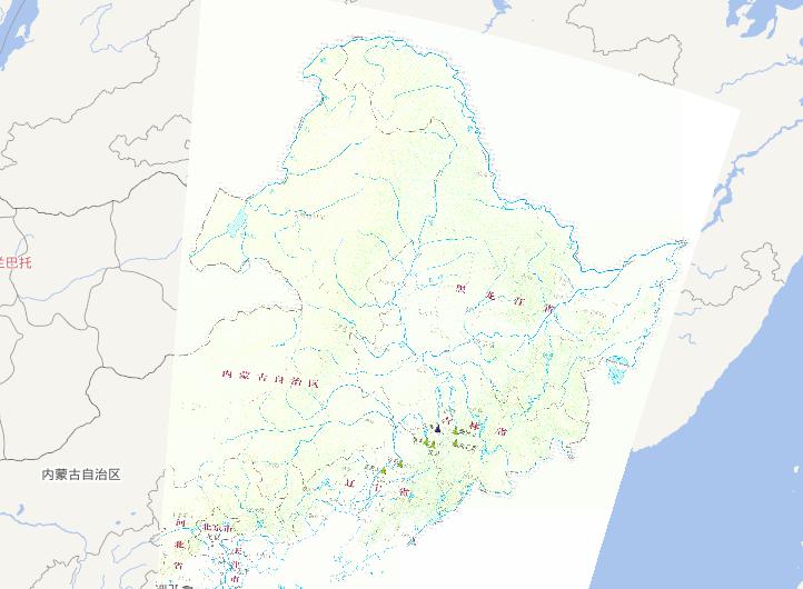
Water regimen and riverway condition online map from July 14th to 20th,2010 during the mid July's flood disaster period in Northeast China
2023-08-23
This map comes from the Major natural disaster Atlas of China in 2010 Surveying and Mapping Press and China Map Publishing House....
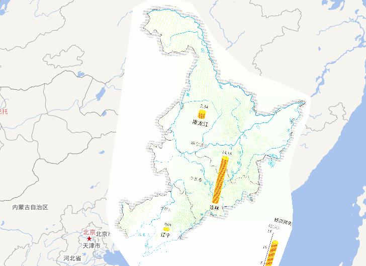
Direct economic losses online map from July 14th to 20th,2010 during the mid July's flood disaster period in Northeast China
2023-08-23
This map comes from the Major natural disaster Atlas of China in 2010 Surveying and Mapping Press and China Map Publishing House....
Home
Previous page
24
25
26
27
28
29
30
31
32
33
Next page
End
Go to
page
Jump
Most attention
Differences between WebGIS and desktop GIS, mobile GIS and 3D GIS
3D WebGIS-technology route
Differences between C language/ C++ / Java / Python
GIS spatial data sharing standard
Top 10 free open source NoSQL databases
Recent articles
Analysis of the development prospects of GIS in urban planning
The application of big data in the construction of smart cities
Making GIS 3D visualization simple - projected coordinate system
Making GIS 3D visualization simple - geographic coordinate system
What are the advantages of 3D GIS compared to 2D
Classified catalogue
Programming and development
Software application
Open source GIS
Space Technology
OpenGIS
Education and training
Python
JavaScript
Desktop
Database
WebGIS
Powered by TorCMS (
https://github.com/bukun/TorCMS
).