Thematic raster data
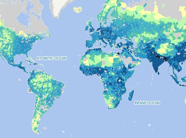
2023-09-28
To provide global rural population base year and
projection grids based on the Shared Socioeconomic
Pathways (SSPs) data at a re...
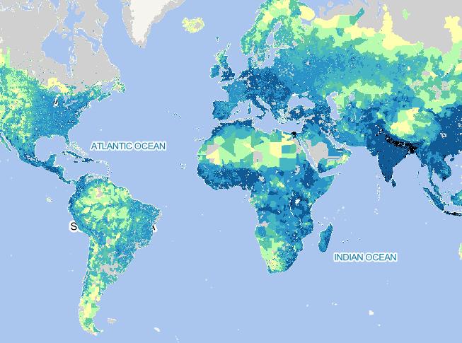
2023-09-28
To provide global rural population base year and
projection grids based on the Shared Socioeconomic
Pathways (SSPs) data at a re...
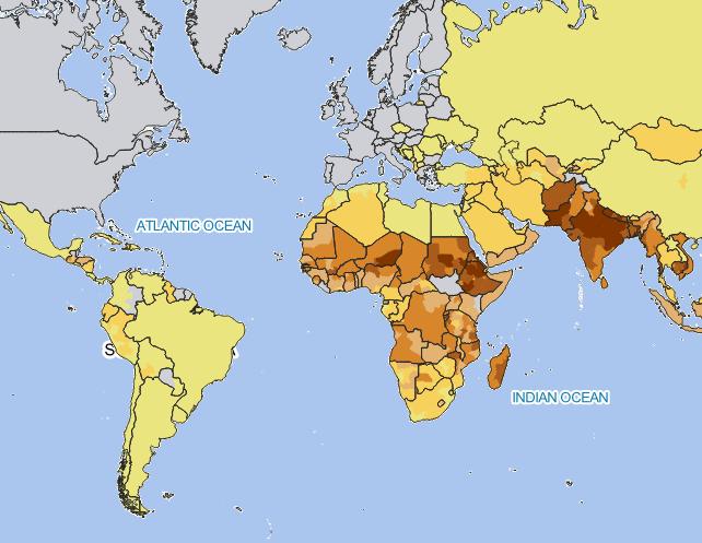
2023-09-28
Global Subnational Prevalence of Child Malnutrition
data set consists of estimates of the percentage of
children with weight-for-...
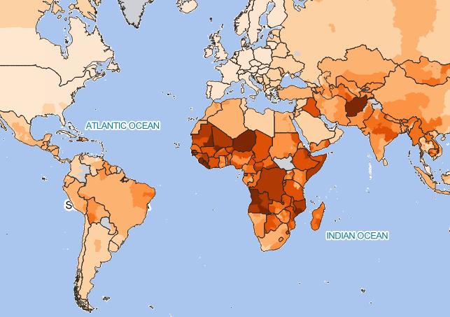
2023-09-28
Global Subnational Infant Mortality Rates data set
consists of estimates of infant mortality rates for
the year 2000. The infant ...
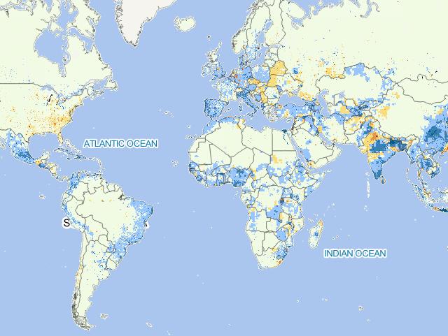
2023-09-28
To provide estimates of net-migration (in-migration
minus out-migration) per one-kilometer grid cell on
a decadal basis for the ...
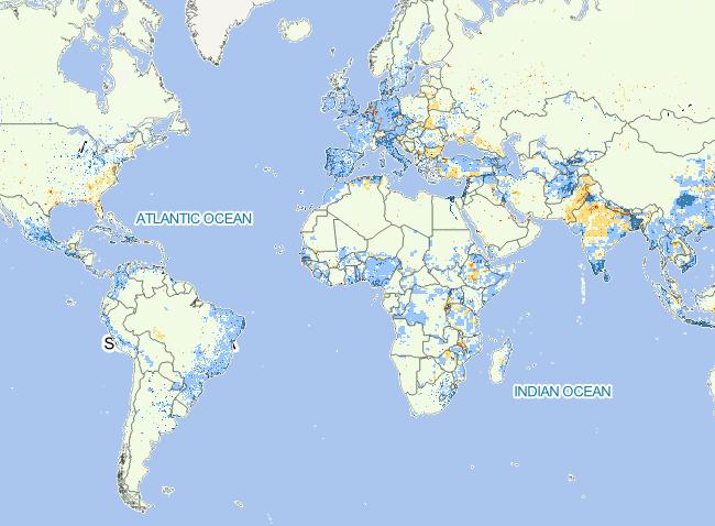
2023-09-28
To provide estimates of net-migration (in-migration
minus out-migration) per one-kilometer grid cell on
a decadal basis for the ...
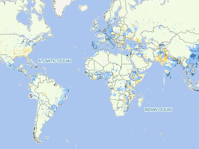
2023-09-28
To provide estimates of net-migration (in-migration
minus out-migration) per one-kilometer grid cell on
a decadal basis for the ...
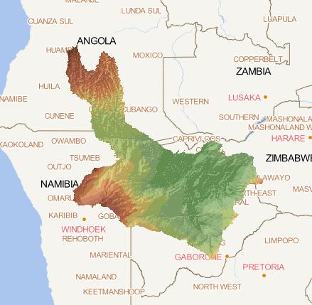
2023-09-28
Digital Terrain Model within the Okavango Basin.
Source: Data generated under the GIS EPSMO program
(base:SRTM data). This dataset...
2023-09-13
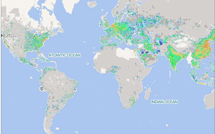
The data results indicate that the eastern United States,
eastern China, Japan, South Korea, India, Southeast Asia,
and Europe a...
2023-09-08
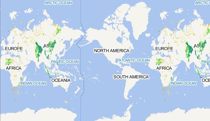
This data includes rice distribution areas affected by
extreme high temperatures during historical periods
(i.e. rice high-tempe...