Three Kingdoms, Two Jins, Southern and Northern Dynasties
The Full Historical map of Sixteen in the Eastern Jin Dynasty
Map Introduction The Eastern Jin and Sixteen Kingdoms Period (304–439 AD) was a major era of fragmentation in Chinese history. ...2016-11-02 00:45:00 UTC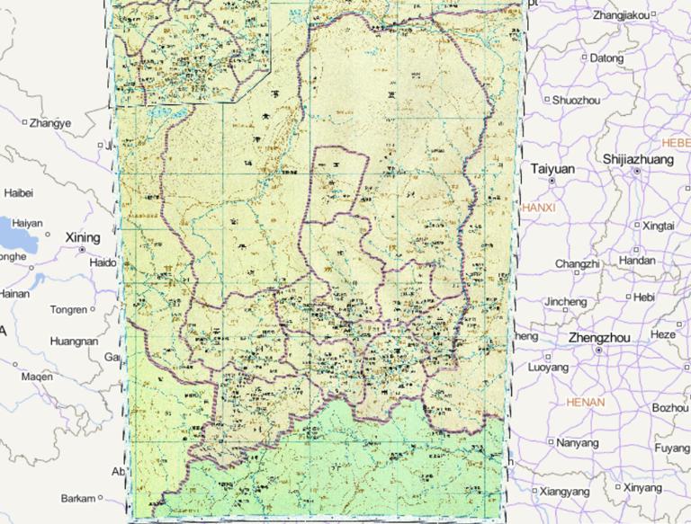
The Historical Maps of Wei, Yongzhou and Other States in the Northern Dynasties
Map Introduction Yongzhou (with its administrative seat in Chang'an) * 426 AD: The Northern Wei initially captured Yongzhou (...2016-10-24 12:57:00 UTC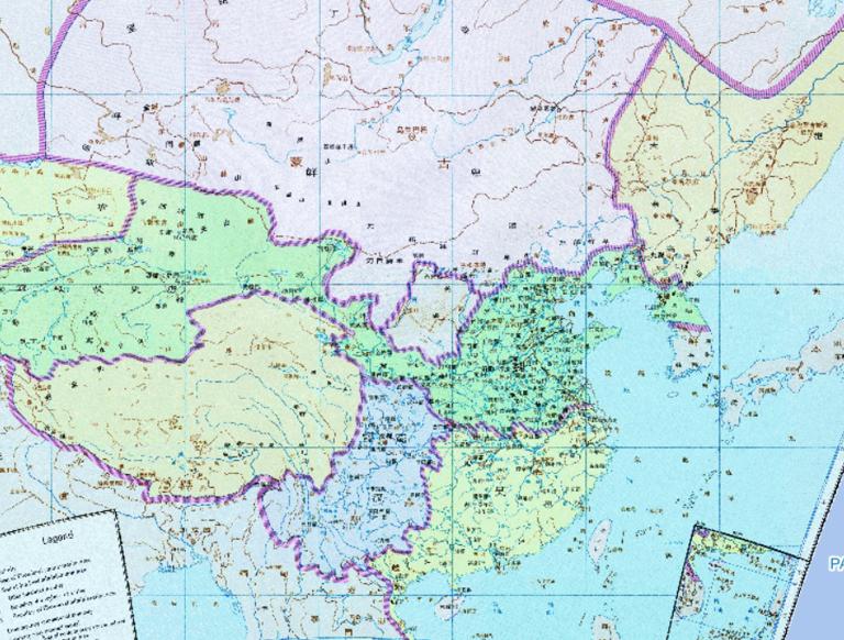
Historical map of China 's Three Kingdoms period
Map Introduction The Three Kingdoms (220–280 AD) The Three Kingdoms period was a historical era following the Eastern Han Dynas...2016-10-24 12:57:00 UTC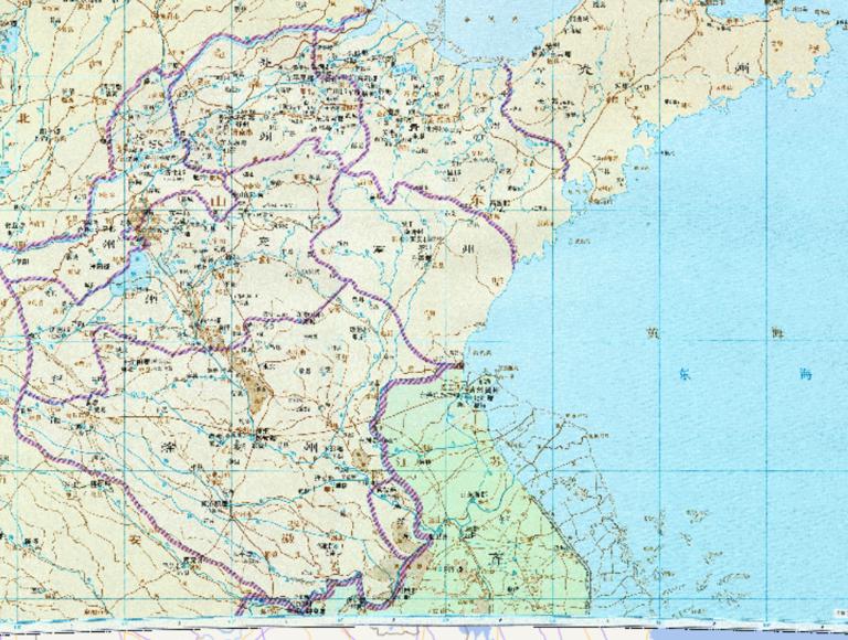
Wei Chongzhou, Qingzhou and other historical maps of the Northern Dynasties
Map Introduction The historical evolution of Yan, Qing, Qi, and Xu Provinces during the Northern Wei Dynasty is as follows:** Y...2016-10-24 12:57:00 UTC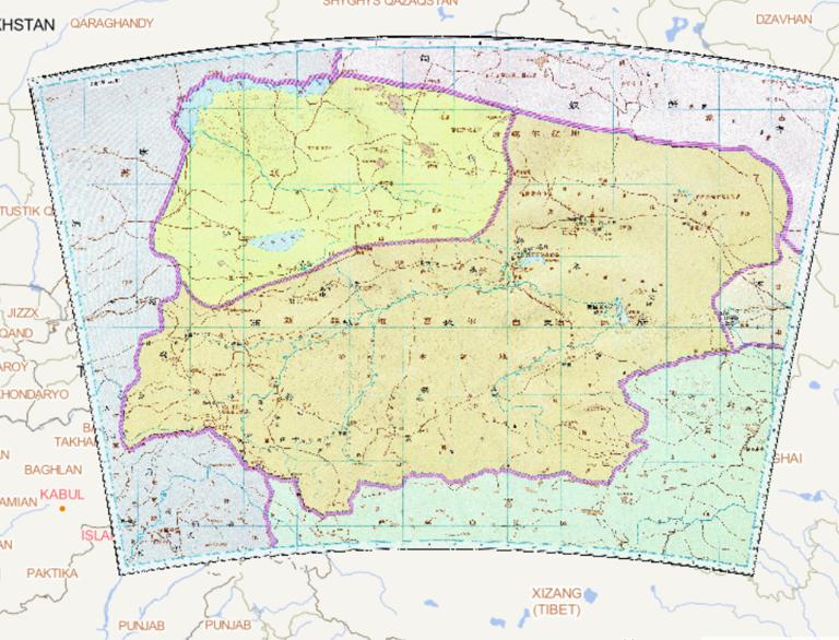
History map of the Chief Official of the Western Regions Wusun and in the Western Jin Dynasty
Map Introduction As a dependent state under the jurisdiction of the Chief Clerk of the Western Regions during the Western Jin D...2016-10-24 12:57:00 UTC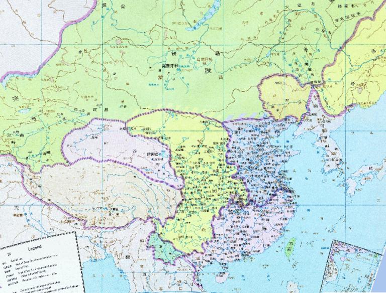
The Historical Maps of Qi and Chen State in the Northern and Southern Dynasties
Map Introduction The Northern and Southern Dynasties Period (420–589 AD) was a pivotal era in Chinese history marked by signifi...2016-10-24 12:57:00 UTC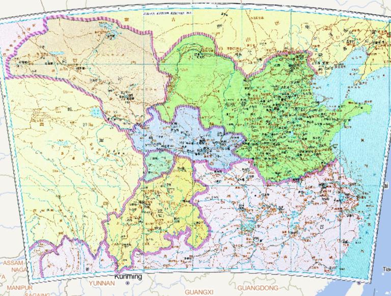
The Historical Map Cheng country, Pre-Zhao Dynasty,Pre-Liang Dynasty and Later Zhao during the Period of the Sixteen States of China
Map Introduction The Sixteen Kingdoms Period (304–439 AD) was a major era of fragmentation in Chinese history, following the fa...2016-10-24 12:57:00 UTC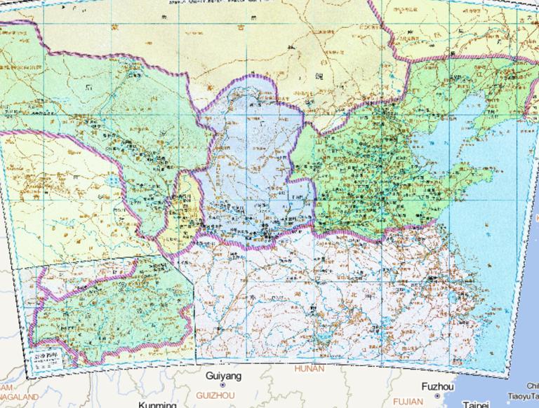
The history map of Hou Qin, Hou Yan, Western Qin, Hou Liang, Wei of the Sixteen Kingdoms period in Eastern Jin Dynasty in China
Map Introduction The historical evolution of Later Qin, Later Yan, Western Qin, and Later Liang is closely intertwined with the...2016-10-24 12:57:00 UTC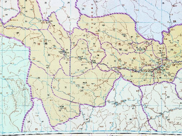
The Historical Map of Qinzhou in Yongzhou during the Western Jin Dynasty in China
Map Introduction During the Western Jin Dynasty (265–316 AD), the historical evolution of Yong Province and Qin Province was pr...2016-10-24 12:57:00 UTC
The Historical Map of Eastern Jin Dynasty in China
Map Introduction Eastern Jin (317–420 AD) was a remnant regime established by Sima Rui in Jiankang (modern Nanjing) after the f...2016-10-24 12:57:00 UTC
The Historical Map of the Song country in the Southern Dynasties of China
Map Introduction The Liu Song Dynasty (420–479 AD) was the first of the Southern Dynasties in China's Northern and Southern Dyn...2016-10-24 12:57:00 UTC
The History Map of Xianbei and Other Tribes in the Three Kingdoms Period of China
Map Introduction The historical evolution of the various Xianbei tribes during the Three Kingdoms period was primarily reflecte...2016-10-24 12:56:00 UTC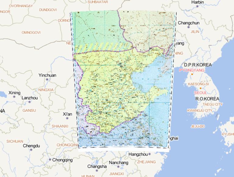
The Historical Map of the East Wei Dynasty in the Northern Dynasties
Map Introduction Eastern Wei (534–550 AD) was one of the Northern Dynasties regimes, formed from the division of the Northern W...2016-10-24 11:29:00 UTC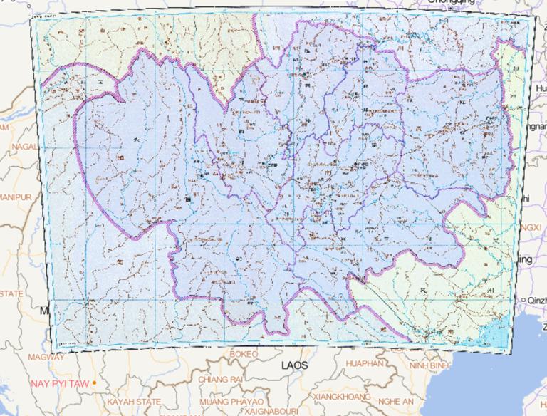
History map of Shuhan,south yizhou(commanding officer of Lai xiang)during the Three Kingdoms Period
Map Introduction The Laixiang Military Governorship was a hybrid military-administrative institution established by the Shu Han...2016-10-24 11:29:00 UTC
The Historical Maps of Xianbei and Other Departments in the Western Jin Dynasty of China
Map Introduction During the Western Jin Dynasty (265–316 AD), the historical evolution of the various Xianbei tribes was primar...2016-10-24 11:29:00 UTC
China's three kingdoms period, wei country of jizhou and bingzhou historical map
Map Introduction The historical evolution of Ji Province and Bing Province during the Three Kingdoms period is primarily reflec...2016-10-24 11:29:00 UTC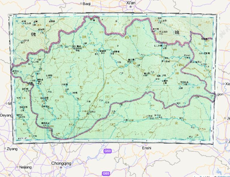
The History Map of Qiliang and Qinzhou in the Southern Dynasty
Map Introduction During the Southern Qi (479–502 AD) and Liang (502–557 AD) dynasties, the evolution of provincial-level admini...2016-10-24 11:29:00 UTC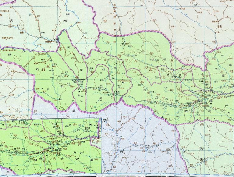
The History Map of Weiguo Yongzhou During the Three Kingdoms Period of China
Map Introduction The Yong Province of the Cao Wei era was an administrative district initially established late in the Eastern ...2016-10-24 11:29:00 UTC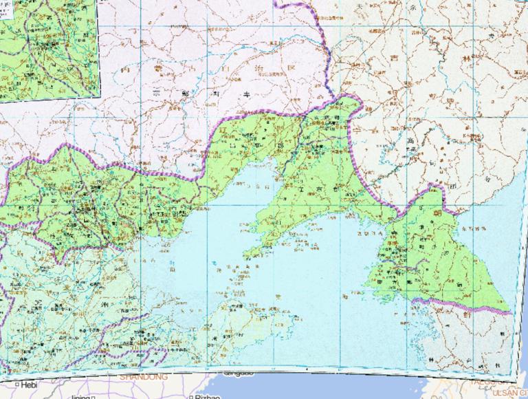
Map of Youzhou in Three Kingdoms period of China
Map Introduction You Province You Province was a crucial provincial-level administrative district for the Cao Wei regime in the...2016-10-24 11:29:00 UTC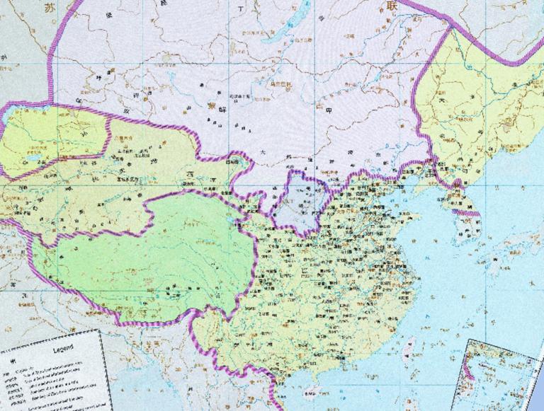
The Historical Map of the Western Jin Dynasty in China
Map Introduction Western Jin (266–316 AD) The Western Jin was a unified dynasty in Chinese history following the Three Kingdoms...2016-10-24 11:29:00 UTC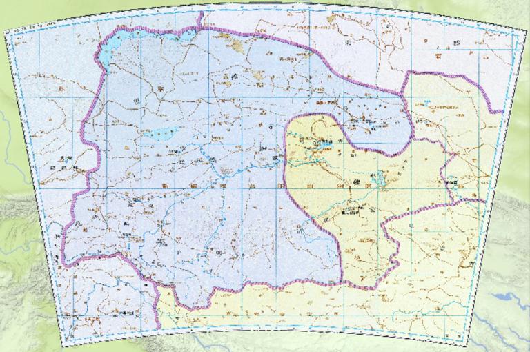
The historical map of Colonel of Xi Rong Mansion, yanqi town and other neighbouring countries in China Southern and Northern Dynasties Period
Map Introduction Western Rong Commandant During the reign of Emperor Taiwu of the Northern Wei Dynasty (mid-5th century), to st...2016-10-24 11:29:00 UTC
China 's Sixteen States pre Liang, pre Qin , pre Yan of the historical map
Map Introduction Former Liang (317–376 AD) * Founding: Amid the collapse of the Western Jin, Zhang Gui, the Governor of Liang...2016-10-24 11:29:00 UTC
Historical map of the Southern Qi Ningzhou during the period of northern and Southern Dynasties
Map Introduction The administrative division of Ningzhou (modern Yunnan and surrounding areas) underwent multiple adjustments d...2016-10-24 11:29:00 UTC
The Historical Map of Yangzhou during the Western Jin Dynasty in China
Map Introduction Administrative Reorganization Following the Western Jin Dynasty's conquest of Eastern Wu, the Yang Province te...2016-10-24 11:29:00 UTC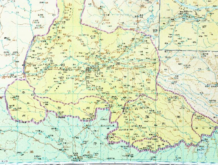
Historical map of Wei and Si state in Bei dynasty in China
Map Introduction Sizhou (Si Province) In the early Northern Wei period, the Office of the Colonel-Director of Retainers (Sili X...2016-10-24 11:29:00 UTCHistorical Map of Wu Kingdom in Jingzhou During the Three Kingdoms Period of China
Map Introduction The Kingdom of Wu's administration of Jing Province underwent a complex process, evolving from contested contr...2016-10-24 11:29:00 UTC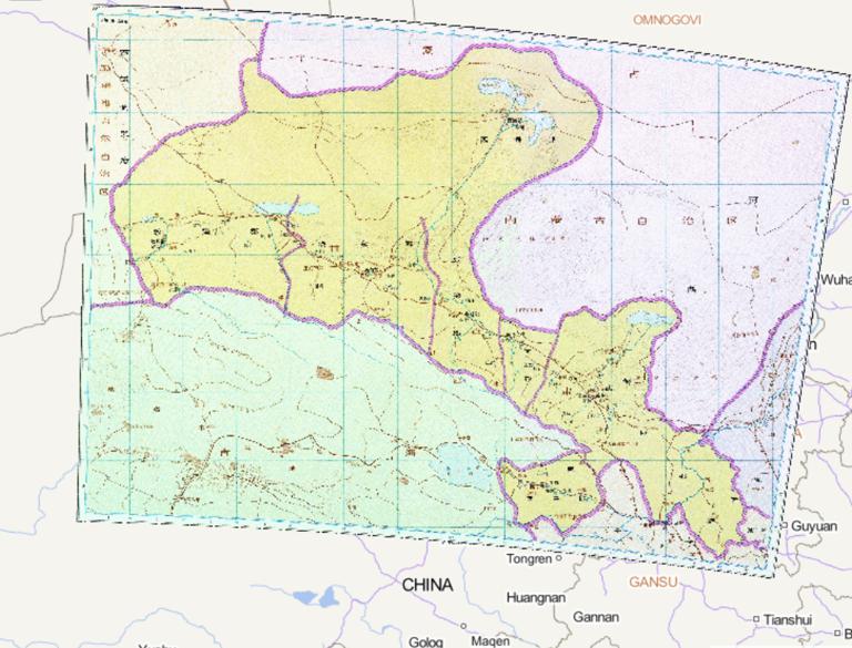
The Historical Map of Liangzhou in the Western Jin Dynasty of China
Map Introduction The historical evolution of Liang Province during the Western Jin Dynasty (265–316 AD) can be examined across ...2016-10-24 11:29:00 UTC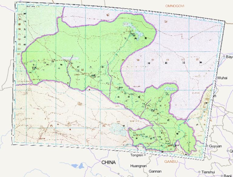
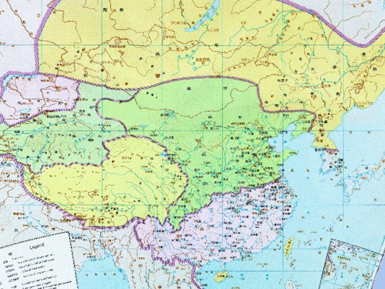
The Historical Map of Wei State Liangzhou in the Three Kingdoms Period of China
Map Introduction Background of Liang Province in the Late Eastern Han Geography and Ethnic Composition: Liang Province's ...2016-10-24 11:29:00 UTC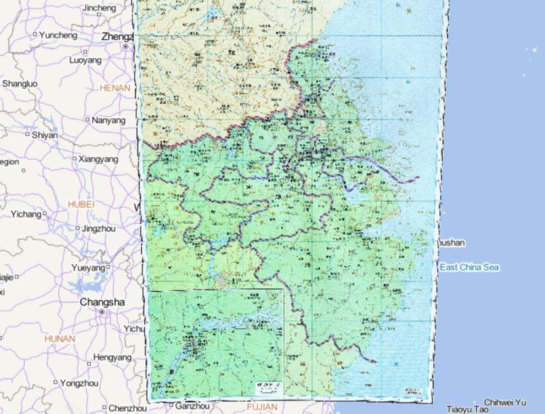
The History Map of Yangzhou and Yuzhou of Qi State in the Southern Dynasties
Map Introduction Yang Province During the Southern Qi Dynasty, Yang Province served as a core administrative region, with its s...2016-10-24 11:29:00 UTC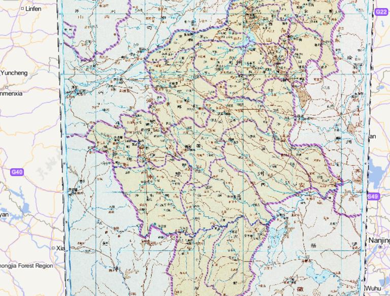
The Historical Map of Yanzhou and Yuzhou during the Western Jin Dynasty in China
Map Introduction Yan Province During the Jin Dynasty, the Yan Province Governor Department was established. It administered eig...2016-10-24 11:29:00 UTC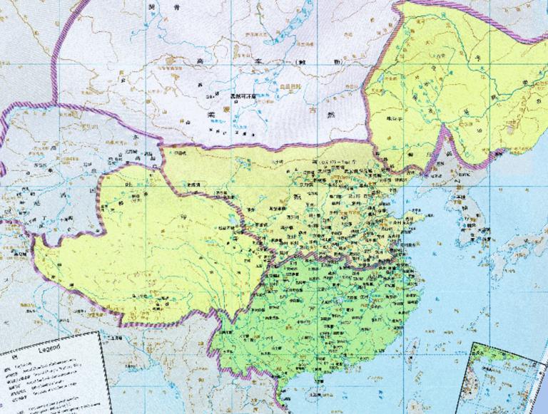
The Historical Maps of Qi and Wei Dynasties in China
Map Introduction The historical evolution of the Southern Qi and Northern Wei dynasties reflects the complex processes of regim...2016-10-24 11:29:00 UTC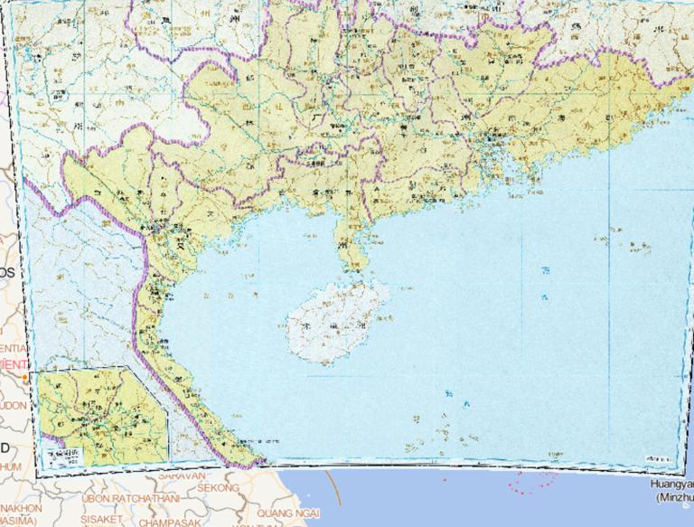
Historical map of Jiaozhou , Guangzhou in Western Jin Dynasty in China
Map Introduction The evolution of Jiao Province and Guang Province during the Western Jin period primarily involved administrat...2016-10-24 11:29:00 UTC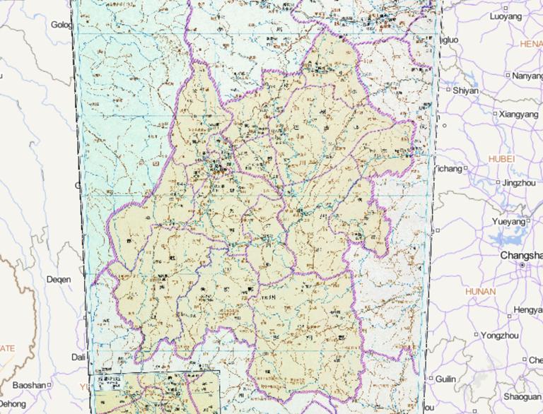
The Historical Map of Liangzhou and Yizhou in the Western Jin Dynasty of China
Map Introduction During the Western Jin Dynasty, the historical evolution of Liang Province and Yi Province was primarily refle...2016-10-24 11:29:00 UTC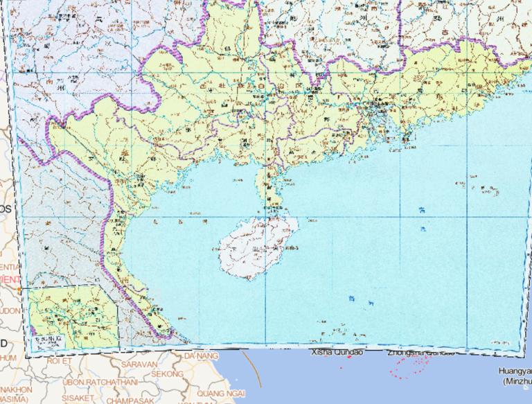
The History Map of Wu State 's and Jiaozhou in the Three Kingdoms Period of China
Map Introduction Jiao Province Jiao Province was a strategically important region under the effective control of Eastern Wu fro...2016-10-24 11:29:00 UTC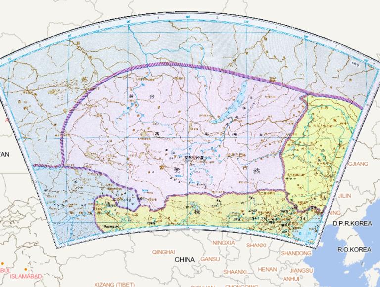
Historical map of China during the Northern and Southern Dynasties Rouran
Map Introduction The Rouran were a nomadic tribal confederation active on the Mongolian Plateau from the 4th to the 6th centuri...2016-10-24 11:29:00 UTC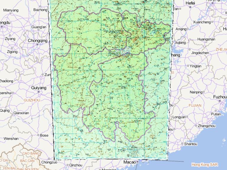
The history map of Qi dynasty Jingzhou, Yingzhou and Xiangzhou during the Southern Dynasties
Map Introduction The evolution of Jing, Ying, and Xiang Provinces during the Southern Qi period reflects the complex political ...2016-10-24 11:29:00 UTC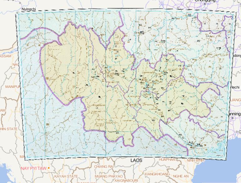
The Historical Map of Ningzhou in the Western Jin Dynasty of China
Map Introduction Ning Province during the Western Jin Dynasty Ning Province was an administrative division established by the W...2016-10-24 11:29:00 UTC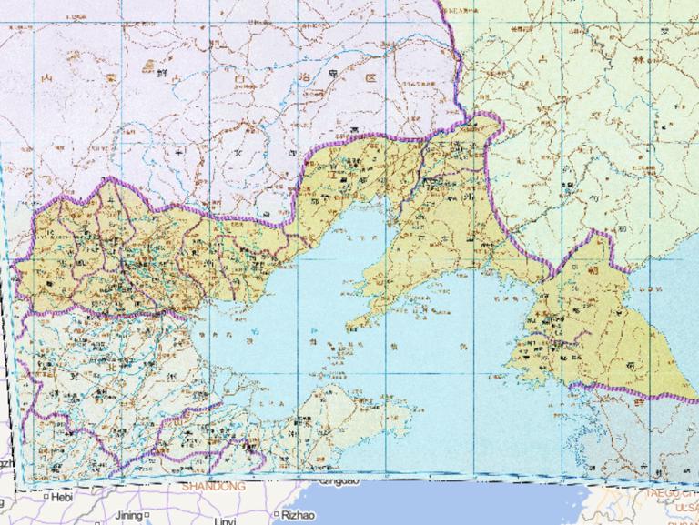
History of Youzhou and Pingzhou during the Western Jin Dynasty in China
Map Introduction During the Western Jin Dynasty, You Province and Ping Province underwent the following key changes in their hi...2016-10-24 11:29:00 UTC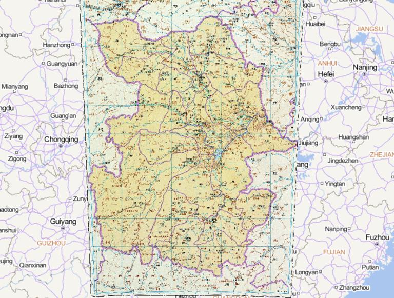
The Historical Map of Jingzhou during the Western Jin Dynasty in China
Map Introduction Administrative Adjustments Following its establishment, the Western Jin designated Jing Province as one of its...2016-10-24 11:29:00 UTC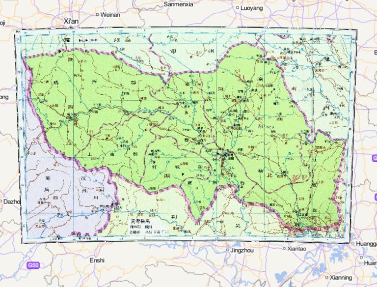
Map of Wei and Jingzhou during the Three Kingdoms period of China
Map Introduction The Cao Wei regime's control over Jing Province during the Three Kingdoms period evolved from initial occupati...2016-10-24 11:29:00 UTC
- Pre-Qin Historical Maps 22
- Qin and Han Dynasties Historical Maps 36
- Three Kingdoms, Two Jins, Southern and Northern Dynasties 66
- Sui, Tang, and Five Dynasties Period 53
- Song, Liao, Western Xia, and Jin Period 46
- Yuan Dynasty Historical Maps 21
- Ming Dynasty Historical Maps 23
- Qing Dynasty Historical Maps 22
- Modern Maps