Toggle navigation
GISLite
Document
Info
Tutorial
App
Map
User
Recent use
Most use
My collection
Personal Data
Login
Register
Current location:
Home
Map
Others
Others
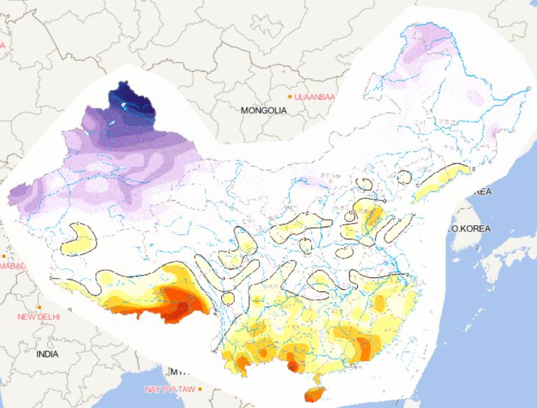
Online map of land vertical velocity in China from 1951 to 1999
2023-08-23
Map source The online map of land vertical velocity in China from 1951 to 1999 comes from the Wenchuan Earthquake Disaster Atlas, ...
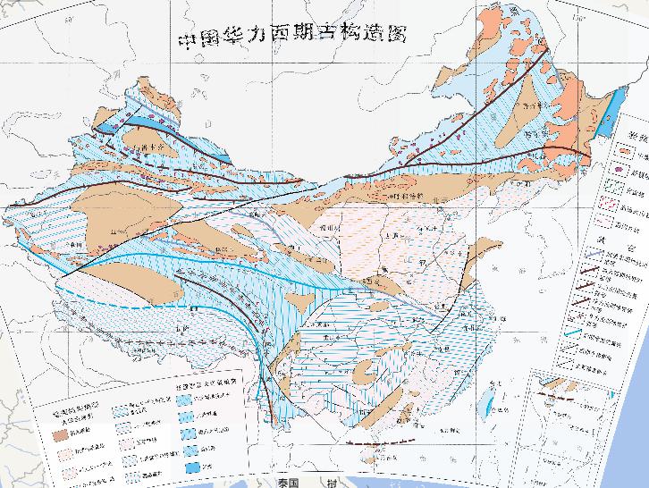
A historical tectonic map of huali west in China
2023-08-23
A historical tectonic map of huali west in China Magmatism Intermediate-acid intrusive rocks Ultramafic rocks basalt Island arc vo...
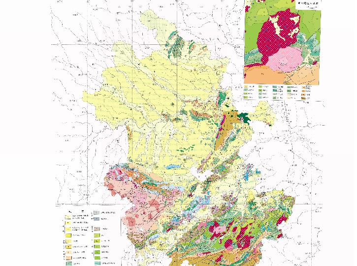
Geological online map of Anhui Province, China
2023-08-23
Knowledge points Anhui Geology Upper Tertiary Upper Cretaceous Liukeng Group Fancun Group Helixi Formation Xiaxiang Formation Xi...
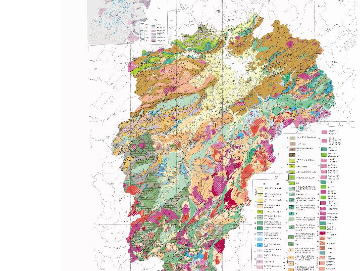
Geological Online Map of Jiangxi Province, China
2023-08-23
Geological Online Map of Jiangxi Province, China ...
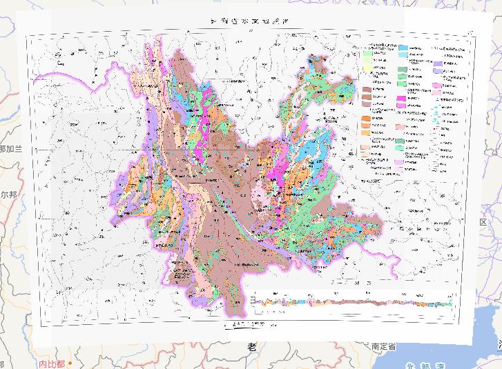
Hydrogeological map of Yunnan Province, China
2023-08-23
In the map, we can see the map of hydrogeological map of Yunnan Province, China. The scale of the map is 1:3000000.The descriptive...
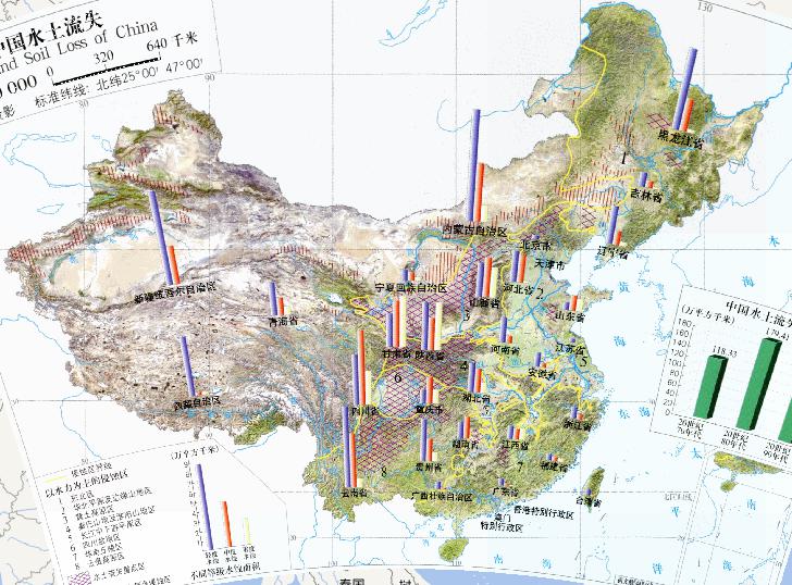
Online map of soil and water loss in China(1:3200 million)
2023-08-23
Online map of soil and water loss in China(1:3200 million) Erosion area dominated by hydraulic force 1 Northeast China 2 North Chi...
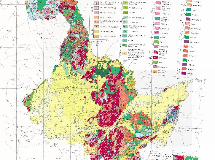
Geological Online Map of Heilongjiang Province, China
2023-08-23
Geological Map of Heilongjiang Province, China Strata Quaternary Alluvial f; Lacustrine l; Aeolian e; Sand, gravel, silty mud, etc...
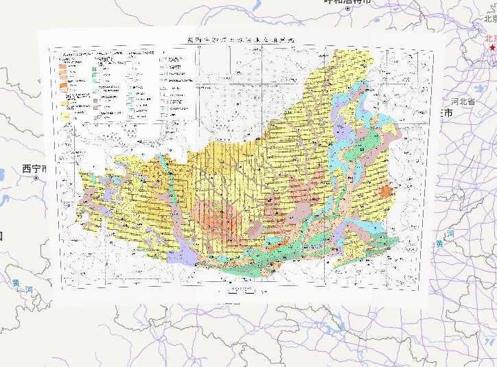
Hydrogeological Online Map of the Loess Area in the Middle Yellow River
2023-08-23
Hydrogeological Map of the Loess Area in the Middle Yellow River...
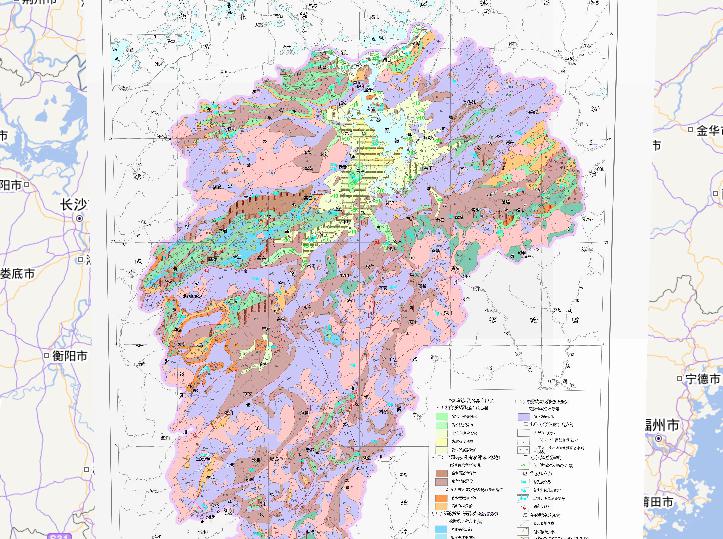
Hydrogeological Online Map of Jiangxi Province, China
2023-08-23
Hydrogeological Map of Jiangxi Province, China...
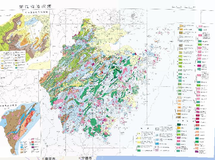
Geological Online Map of Zhejiang Province, China
2023-08-23
Geological Map of Zhejiang Province, China Quaternary: Lacustrine deposit l; silty mud; alluvial lake deposit fl; alluvial-marine...
Home
Previous page
5
6
7
8
9
10
11
12
13
Next page
End
Most attention
Differences between WebGIS and desktop GIS, mobile GIS and 3D GIS
3D WebGIS-technology route
Differences between C language/ C++ / Java / Python
GIS spatial data sharing standard
Top 10 free open source NoSQL databases
Recent articles
Analysis of the development prospects of GIS in urban planning
The application of big data in the construction of smart cities
Making GIS 3D visualization simple - projected coordinate system
Making GIS 3D visualization simple - geographic coordinate system
What are the advantages of 3D GIS compared to 2D
Classified catalogue
Programming and development
Software application
Open source GIS
Space Technology
OpenGIS
Education and training
Python
JavaScript
Desktop
Database
WebGIS
Powered by TorCMS (
https://github.com/bukun/TorCMS
).