Toggle navigation
GISLite
Document
Info
Tutorial
App
Map
User
Recent use
Most use
My collection
Personal Data
Login
Register
Current location:
Home
Map
Others
Others
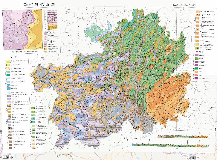
Geological Online Map of Guizhou Province, China
2023-08-23
Geological Map of Guizhou Province, China Lower Upper Proterozoic: Banxi Group: Sandy slate and residual tuff Longli Formation: A...
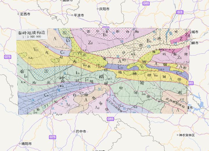
Online map of geological structures in the Qinling Mountains, China
2023-08-23
The online map of China's Qinling geological structure is from the "China Natural Geography Atlas" (third edition), edited by Liu ...
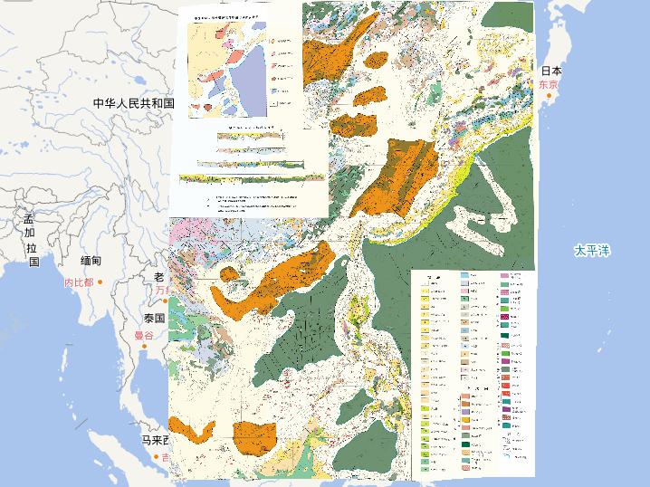
Geological online map of China Sea area and adjacent area
2023-08-23
Geological online map of China Sea area and adjacent area Geological section of the Chinese sea area and adjacent areas Explain: 1...
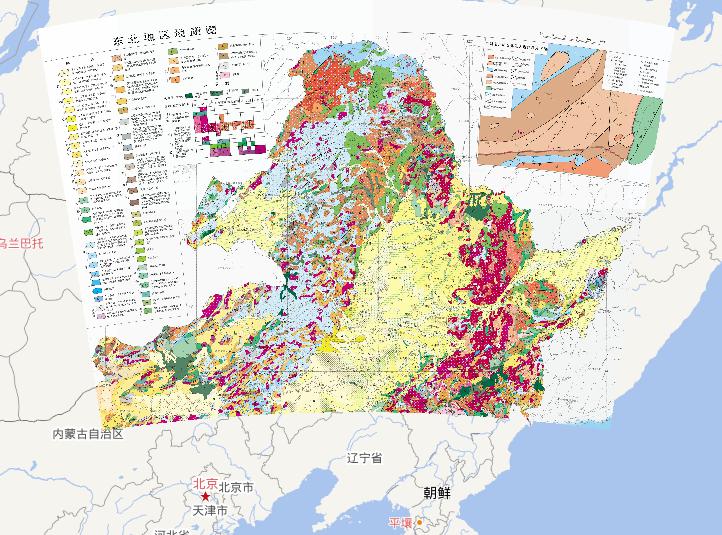
Geological online map of northeast China
2023-08-23
Geological online map of northeast China Geotectonic distribution map of northeastern China and adjacent areas Platform (1850Ma co...
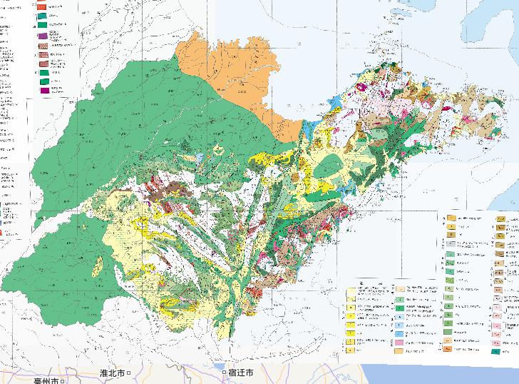
Geological online map of Shandong Province, China
2023-08-23
Geological map of Shandong Province, China Igneous rocks Himalayan Period: Nepheline (Early Pleistocene) Basalt (Pliocene-Early P...
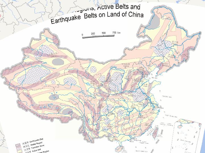
Online map of China's land blockade zones, active areas and seismic zones
2023-08-23
China is located in the world's two largest earthquake focus areas - the Pacific Rim seismic belt and the Eurasian seismic belt, ...
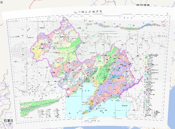
Hydrogeological map of Liaoning Province, China
2023-08-23
In the map, we can see the map of hydrogeological map of Liaoning Province, China. The scale of the map is 1:2500000.The descripti...
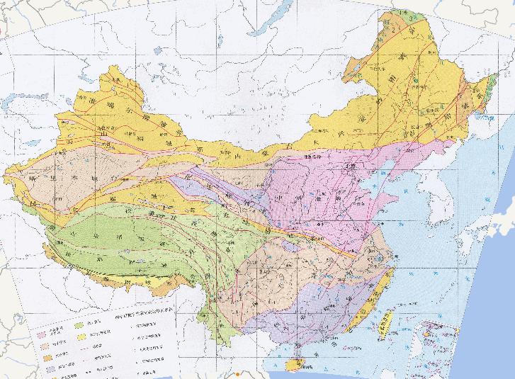
Online map of China geotectonic
2023-08-23
Online map of China geotectonic The name of the construction unit represented by a number in the figure Altai Fold System Ergu...
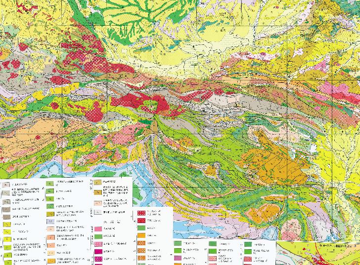
Geological Online Map of Daba Mountain Area in Qinling Mountains, China
2023-08-23
Geological Map of Daba Mountain Area in Qinling Mountains, China HF-Heigou fault; WF-Waxuezi fault; ZXF-Zhuyangguan-Xiaguan fau...
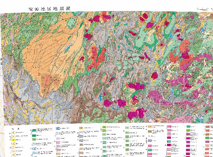
Geological Online Map of Nanling Region, China
2023-08-23
Geological Map of Nanling Region, China Strata Quaternary: Holocene, Gravel and Clay Pleistocene, gravel, clay and moraine Parall...
Home
Previous page
1
2
3
4
5
6
7
8
9
10
Next page
End
Most attention
Differences between WebGIS and desktop GIS, mobile GIS and 3D GIS
3D WebGIS-technology route
Differences between C language/ C++ / Java / Python
GIS spatial data sharing standard
Top 10 free open source NoSQL databases
Recent articles
Analysis of the development prospects of GIS in urban planning
The application of big data in the construction of smart cities
Making GIS 3D visualization simple - projected coordinate system
Making GIS 3D visualization simple - geographic coordinate system
What are the advantages of 3D GIS compared to 2D
Classified catalogue
Programming and development
Software application
Open source GIS
Space Technology
OpenGIS
Education and training
Python
JavaScript
Desktop
Database
WebGIS
Powered by TorCMS (
https://github.com/bukun/TorCMS
).