Toggle navigation
GISLite
Document
Info
Tutorial
App
Map
User
Recent use
Most use
My collection
Personal Data
Login
Register
Current location:
Home
Map
Geological Disasters
Online Geological map of Qingzang Tibet Plateau of China
2023-08-23
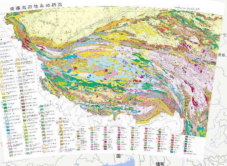
Geological map of Qingzang Tibet Plateau of China Igneous rocks include: Himalayan period Yanshan period Indosinian period Hualixi...
Geological online map of China
2023-08-23
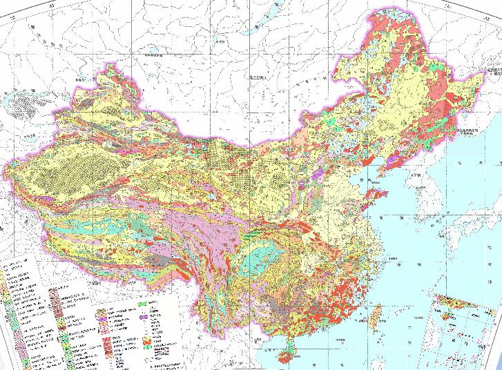
Geological map of China...
Online map of palaeostructures in Caledonian, China
2023-08-23
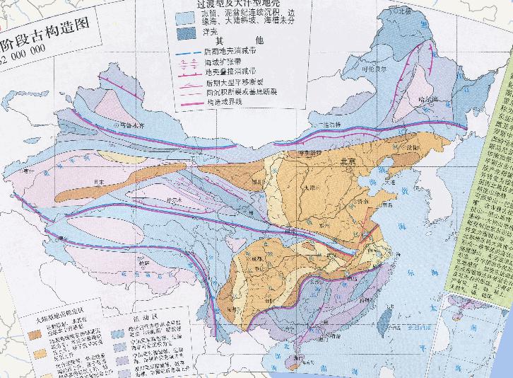
Online map of palaeostructures in Caledonian, China The general term for the early Paleozoic crustal movement of the Caledo-nian m...
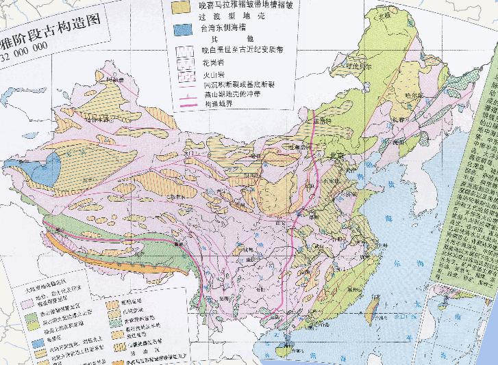
Online map of paleo - tectonics in the Himalayan stage of China
2023-08-23
Online map of paleo - tectonics in the Himalayan stage of China The Cenozoic crustal movement is about 2.5 million years ago. It i...
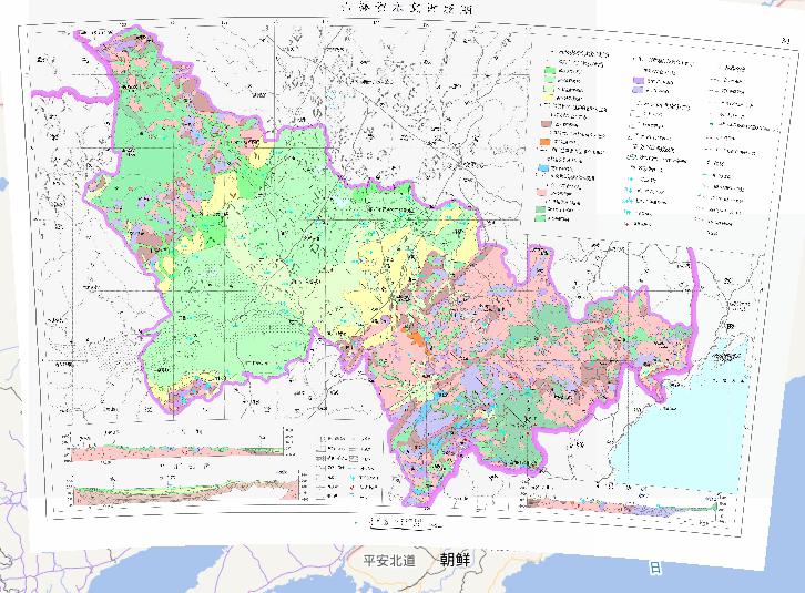
Hydrogeological map of Jilin Province, China
2023-08-23
In the map, we can see the map of hydrogeological map of Jilin Province, China.The scale of the map is 1:2500000.The descriptive d...
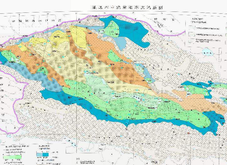
Hydrogeological map of the Qaidam Basin in China
2023-08-23
Hydrogeological map of the Qaidam Basin in China Confined water type and water richness: 1.Shallow (less than 100 meters) confined...
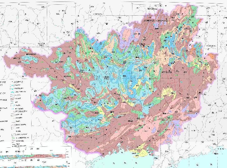
Hydrogeological Map of Guangxi Zhuang Autonomous Region, China
2023-08-23
In the map, we can see the map of hydrogeological Map of Guangxi Zhuang Autonomous Region, China. The scale of the map is 1:200000...
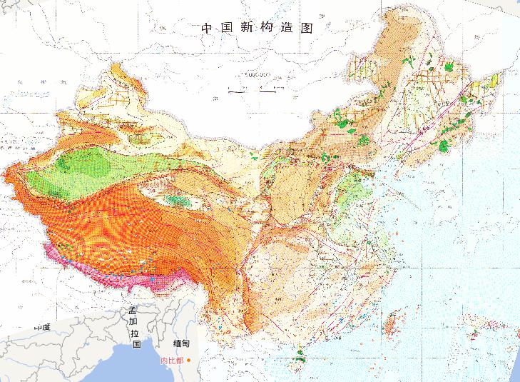
New tectonics online map of China
2023-08-23
Online map of China 's new tectonics ...
Online map of Chinese intrusive rocks
2023-08-23
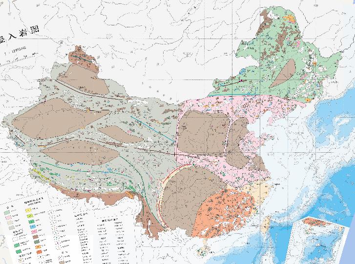
Online map of Chinese intrusive rocks Rock Province Northeast Rock Province; North China Rock Province; Yan Province, South China;...
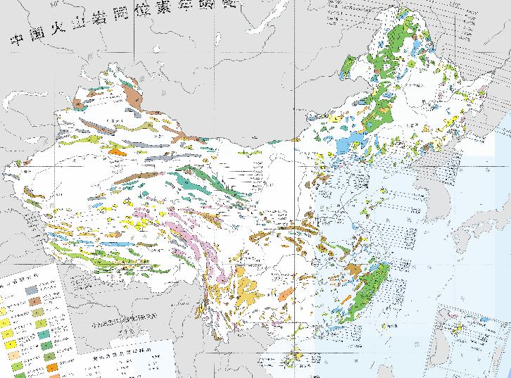
Online Map of Volcanic Isotope Age in China
2023-08-23
Online Map of Volcanic Isotope Age in China Holocene Late Pleistocene Middle Pleistocene Early Pleistocene New Tertiary Old third ...
Home
Previous page
8
9
10
11
12
13
Next page
End
Most attention
Differences between WebGIS and desktop GIS, mobile GIS and 3D GIS
3D WebGIS-technology route
Differences between C language/ C++ / Java / Python
GIS spatial data sharing standard
Top 10 free open source NoSQL databases
Recent articles
Analysis of the development prospects of GIS in urban planning
The application of big data in the construction of smart cities
Making GIS 3D visualization simple - projected coordinate system
Making GIS 3D visualization simple - geographic coordinate system
What are the advantages of 3D GIS compared to 2D
Classified catalogue
Programming and development
Software application
Open source GIS
Space Technology
OpenGIS
Education and training
Python
JavaScript
Desktop
Database
WebGIS
Powered by TorCMS (
https://github.com/bukun/TorCMS
).