Toggle navigation
GISLite
Document
Info
Tutorial
App
Map
User
Recent use
Most use
My collection
Personal Data
Login
Register
Current location:
Home
Map
Geological Disasters
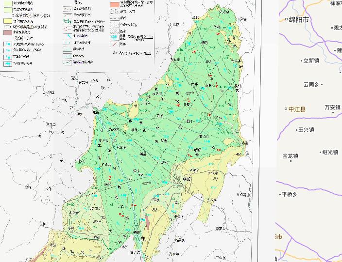
Hydrogeological map of Chengdu Plain, China
2023-08-23
In the map, we can see the map of hydrogeological map of Chengdu Plain, China. The scale of the map is 1:700000. The descriptive d...
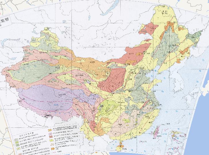
Online map of tectonic landform types in China
2023-08-23
China's broken stuffing and depression plains 1, Yanshan movement since the sinking of the dominant plains 2, the Himalayan move...
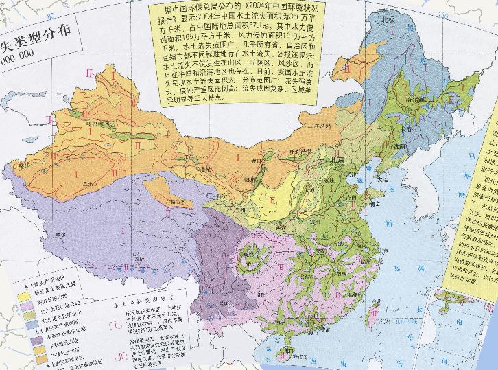
Distribution Online Map of Soil and Water Loss Types in China
2023-08-23
Distribution Map of type of soil and water loss in China According to the "2004 China Environmental Situation Report" published by...
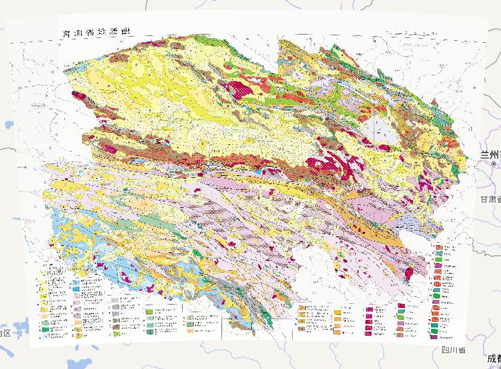
Geological Online Map of Qinghai Province, China
2023-08-23
Geological Map of Qinghai Province, China Proterozoic: Gongcha Group (Qilian), Qiuyan Donggou Group (Qaidam), Wanbaogou Group (So...
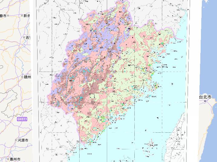
Thematic online maps of underground hot water distribution in Fujian Province, China
2023-08-23
Thematic maps of underground hot water distribution in Fujian Province, China Ⅰ、Aquifer Formation and Its Water-Rich Degree (1) Po...
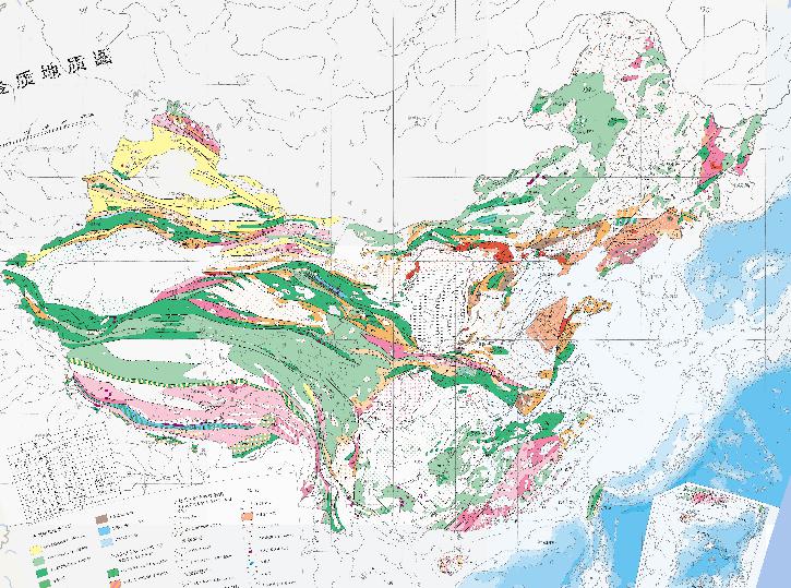
Metamorphic geological online map of China
2023-08-23
Metamorphic geological online map of China Metamorphic Facies and Metamorphic Facies Laumontite and grape-chlorite facies Low gree...
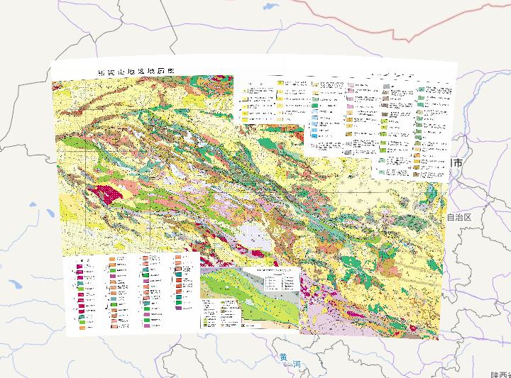
Geological Online Map of the Qilian Mountains in China
2023-08-23
Geological Map of the Qilian Mountains in China ⅠTarim Plate Tarim platform ⅡNorth China Plate Ⅱ1 North China Platform Alxa Block ...
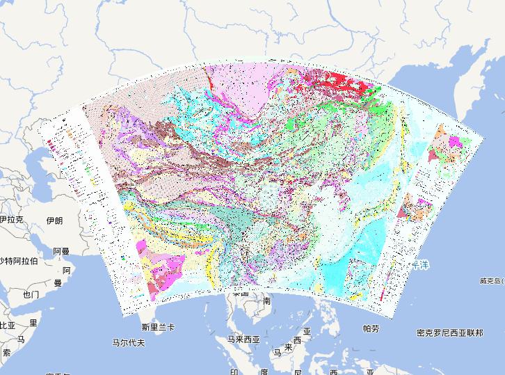
Tectonic online map of China and its adjoining areas
2023-08-23
Tectonic map of China and its adjoining areas Geotectonic Map Continental Crust Formation and Recycling in Precambrian Period Sibe...
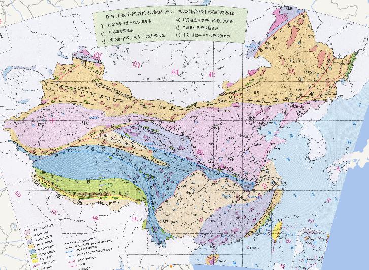
Online map of tectonic plates of China
2023-08-23
Online map of tectonic plates of China The names of plate subduction zones, plate sutures and deep faults represented by numbers i...
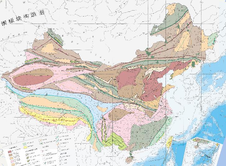
China lithosphere plate tectonics online map
2023-08-23
China lithosphere plate tectonics online map Paleocontinental crust block Continental nucleus (pre-consolidation at 2600 Ma) Late ...
Home
Previous page
7
8
9
10
11
12
13
Next page
End
Most attention
Differences between WebGIS and desktop GIS, mobile GIS and 3D GIS
3D WebGIS-technology route
Differences between C language/ C++ / Java / Python
GIS spatial data sharing standard
Top 10 free open source NoSQL databases
Recent articles
Analysis of the development prospects of GIS in urban planning
The application of big data in the construction of smart cities
Making GIS 3D visualization simple - projected coordinate system
Making GIS 3D visualization simple - geographic coordinate system
What are the advantages of 3D GIS compared to 2D
Classified catalogue
Programming and development
Software application
Open source GIS
Space Technology
OpenGIS
Education and training
Python
JavaScript
Desktop
Database
WebGIS
Powered by TorCMS (
https://github.com/bukun/TorCMS
).