Toggle navigation
GISLite
Document
Info
Tutorial
App
Map
User
Recent use
Most use
My collection
Personal Data
Login
Register
Current location:
Home
Map
Geographic Factors for Disaster
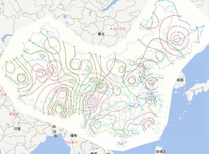
Horizontal movement speed of China's land online map(1951-1999 years)
2023-08-23
Horizontal movement speed of China's land(1951-1999 years)...
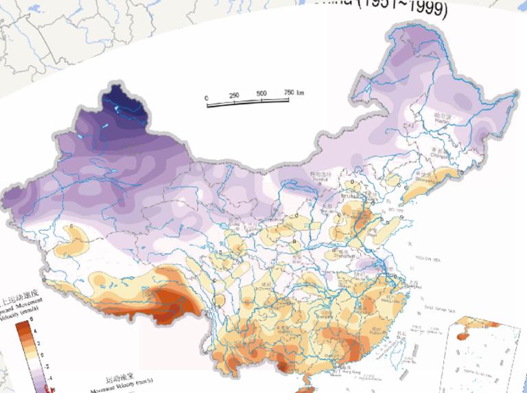
Online map of vertical land movement speed in China (1951-1999)
2023-08-23
Online map of vertical land movement speed in China (1951-1999)....
Hydrogeological online map of arid area in Northwest China
2023-08-23
In the map, we can see the map of Hydrogeological map of arid area in Northwest China. The scale of the map is 1:6750000. The low...
Northwest arid region diving chemical online maps
2023-08-23
Northwest arid region diving chemical maps...
Online Mapping of Relative Intensity of Natural Hazards factor in China
2023-08-23
Online Mapping of Relative Intensity of Natural Hazards factor in China...
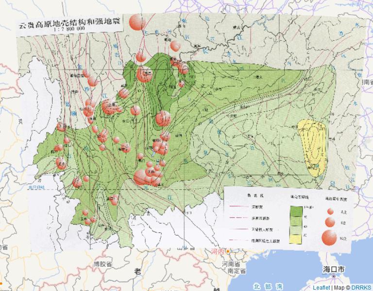
Online map of crustal structure and strong earthquake in Yunnan Guizhou Plateau in China(2010)
2023-08-23
This map comes from the Major natural disaster Atlas of China in 2010 Surveying and Mapping Press and China Map Publishing House....
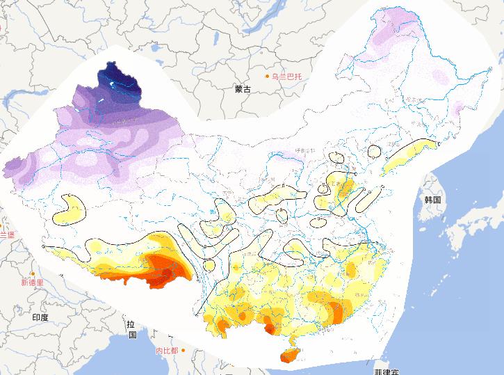
Vertical movement speed of China's land online map (1951-1999 years)
2023-08-23
Vertical movement speed of China's land (1951-1999 years)...
Online map of land horizontal motion speed in China
2023-08-23
Online map of land horizontal motion speed in China...
Hydrological geological online map of the permafrost regions of the Tibet Plateau, China
2023-08-23
Hydrological geological map of the permafrost regions of the Tibet Plateau, China...
1
Most attention
Differences between WebGIS and desktop GIS, mobile GIS and 3D GIS
3D WebGIS-technology route
Differences between C language/ C++ / Java / Python
GIS spatial data sharing standard
Top 10 free open source NoSQL databases
Recent articles
Analysis of the development prospects of GIS in urban planning
The application of big data in the construction of smart cities
Making GIS 3D visualization simple - projected coordinate system
Making GIS 3D visualization simple - geographic coordinate system
What are the advantages of 3D GIS compared to 2D
Classified catalogue
Programming and development
Software application
Open source GIS
Space Technology
OpenGIS
Education and training
Python
JavaScript
Desktop
Database
WebGIS
Powered by TorCMS (
https://github.com/bukun/TorCMS
).