Remote Sensing Dataset of Soil Resources and Environment on the Loess Plateau (1987-1990)
发布时间 :2025-10-19 04:47:55 UTC
类别 :Loess Plateau
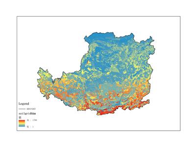
The dataset primarily records forest resource data, spanning the time period from 1987 to 1990. The data is in raster format. It was collected and compiled by the Institute of Geographic Sciences and Natural Resources Research, Chinese Academy of Sciences, and can be utilized for scientific research, teaching, and government decision-making. The geographical coverage of this dataset is the Loess Plateau. Through calibration, clipping, and index calculation, remote sensing data on resources and the environment in the Loess Plateau region was obtained. The data processing software used includes ArcGIS and EnVI. Initially, the acquired remote sensing data underwent calibration and preprocessing. Subsequently, ArcGIS was employed for index calculation and classification. Finally, the aforementioned results were integrated into the rasterized resource and environmental data.