Remote Sensing Dataset of Land Use on the Loess Plateau (1987-1990)
发布时间 :2025-10-22 06:46:34 UTC
类别 :Loess Plateau
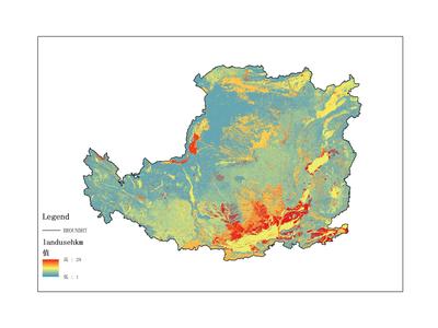
The dataset primarily records land use data on the Loess Plateau, covering the time period from 1987 to 1990. The data format is raster data. It was collected and compiled by the Institute of Geographic Sciences and Natural Resources Research, Chinese Academy of Sciences. This dataset can be utilized for scientific research, teaching, and government decision-making.